Den sydlige amtsrute forbinder Vorden, Ruurlo og Hengelo (Gelderland).

in blurtmob •  2 years ago 

292389317_606565980778925_7995771674179430162_n.jpg

Den sydlige amtsrute forbinder Vorden, Ruurlo og Hengelo (Gelderland). Det regionale navn De Graafschap svarer til dette område. Den var rig på adelige familier og slotte, hvor før i tiden feudal magten blev udøvet af grever og deres vasaller. Herefter cykler du til Vorden Slot, Kief Kamp House, Onstein House, De Wiersse House, Ruurlo Slot o Hackfort Slot. Mange lande gør rejsen smuk og anderledes. En stor del går gennem et lille overdækket sand landskab med marker, enge og masser af skov. Når du starter ved Vorden Station, drej til højre ved stationsbygningen, Burg. Galleri Street; følg vejen til afkørsel 89.

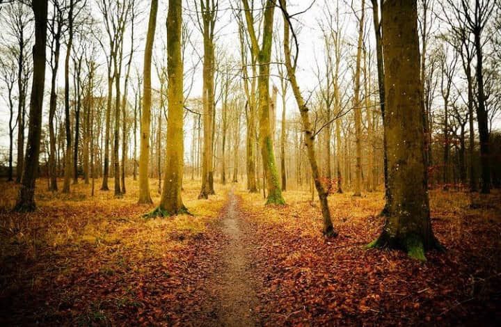
The southern county road connects Vorden, Ruurlo and Hengelo (Gelderland). The regional name De Graafschap corresponds to this area. It was rich in noble families and castles, where in the past feudal power was exercised by counts and their vassals. Then you cycle to Vorden Castle, Kief Kamp House, Onstein House, De Wiersse House, Ruurlo Castle o Hackfort Castle. Many countries make the journey beautiful and different. A large part goes through a small covered sandy landscape with fields, meadows and lots of forest. When you start at Vorden Station, turn right at the station building, Burg. Gallery Street; follow the road to exit 89.

292227651_3641020556175163_6736561594425318568_n.jpg

Oude Willem er navnet på en landsby midt i nationalpark en Drents-Friese Wold. Det blev skabt i første halvdel af det 20. århundrede, da hede udvinding begyndte i dette område. I dag er landsby angivet af vidtstrakte skove, moser og flytt and. Omkring Hoogers Molde og langs Drenthe Hoofdvaart fører ruten ind i det tidligere "tørkeområde". Leggeldervelden er en rest af fortidens store tørve- og hedeområder. Blå sø skabt af sand minedrift.

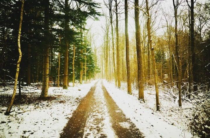
Oude Willem is the name of a village in the middle of the Drents-Friese Wold National Park. It was created in the first half of the 20th century, when heath extraction began in this area. Today the village is indicated by vast forests, marshes and migrating ducks. Around Hoogers Molde and along the Drenthe Hoofdvaart, the route leads into the former "drought area". The Leggeldervelden is a remnant of the large peat and heath areas of the past. Blue lake created by sand mining.

291855403_467627795198820_8770028595344841307_n.jpg

Sammen med Archemerberg og Besthemerberg blev Lemelerberg den nordlige del af Sallandse Heuvelrug, en nu hastigt kollapsende moræne dannet under næstsidste istid. Den store gletsjer flyder der efter mod syd over IJsselmeer og skubbe infiltrer ler, sand og grus fra begge sider ind i høje mure. Bjergene skrumper med tiden på grund af nedsynkning, men når stadig en højde på 81 m (Lemelerberg). Archemerberg 78 m er den eneste, der ikke er skovklædt, så i klart vejr er der en vidunderlig udsigt over Salland, Twente og Vecht Deling fra dette stedUdgangspunkt: fra stationen, drej til højre ind på sporet, og du vil straks se det første skilt til venstre, mod vejkryds 44.

Together with Archemerberg and Besthemerberg, Lemelerberg became the northern part of the Sallandse Heuvelrug, a now rapidly collapsing moraine formed during the penultimate ice age. The great glacier then flowed southwards across the IJsselmeer, pushing infiltrating clay, sand and gravel from both sides into high walls. The mountains shrink over time due to subsidence, but still reach a height of 81 m (Lemelerberg). Archemerberg 78 m is the only one that is not forested, so in clear weather there is a wonderful view of Salland, Twente and the Vecht Deling from this spot:
From the station, turn right onto the track and you will immediately see the first sign on the left, towards junction 44.

292383744_793268971838862_1796455175449751943_n.jpg

Den østlige del af Lustwarander-ruten viser frit hudsyn over Utrechtse Heuvelrug. Du kører gennem de frodige skove i Leersum og Amerongen skovene. Skovene, der dækkede Heuvelrug, forsvandt i slutningen af ​​1600-tallet på grund af handel med mennesker og dyr. Heuvelruget består af moser og sandflader. Efter 1800 efterlod godsejere forladte skove i produktion. Mod nord grænser Heuvelrug op til den åbne udsigt over Gelderland-dalen, mod syd løber bakkerne gennem udsigten over floden.

The eastern part of the Lustwarander route offers an unobstructed view of the Utrechtse Heuvelrug. You drive through the lush forests of Leersum and Amerongen forests. The forests that covered the Heuvelrug disappeared at the end of the 17th century due to the trade in people and animals. The Heuvelruget consists of marshes and sand flats. After 1800, landowners left abandoned forests in production. To the north the Heuvelrug borders the open view of the Gelderland valley, to the south the hills run through the view of the river.

292408671_556692459460923_8625360238979030012_n.jpg

Authors get paid when people like you upvote their post.
If you enjoyed what you read here, create your account today and start earning FREE BLURT!
Sort Order:  

Congratulations, your post has been curated by @r2cornell-curate. Also, find us on Discord

Manually curated by @abiga554

logo3 Discord.png

Felicitaciones, su publication ha sido votado por @r2cornell-curate. También, encuéntranos en Discord

  ·  2 years ago  ·  

Congratulations, your post has been upvoted by @oscarps, from the @visualblock curation account


image.png

Encuentra nuestra comunidad aquí / Find our community here