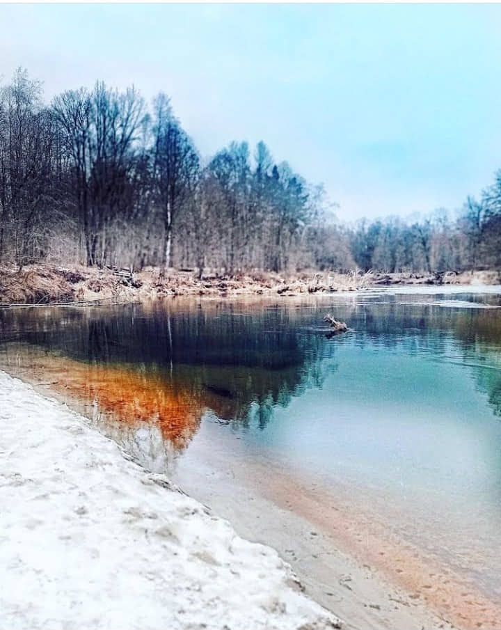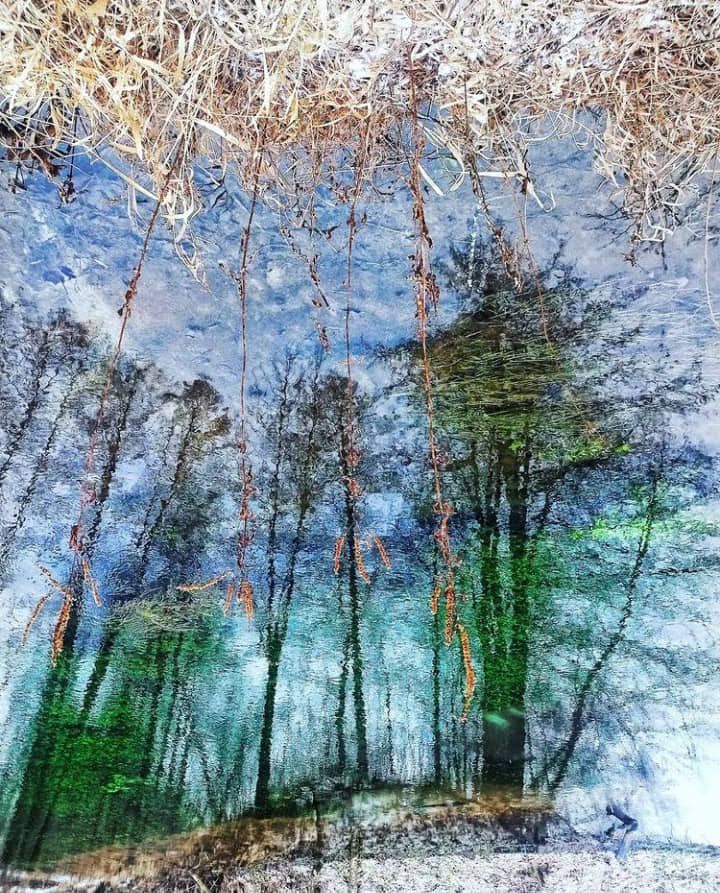
Горы Лаго-Наки лежат на границе двух государств, Краснодарского края и Республики Адыгея. В интернете и вообще у людей всегда можно встретить такой термин, как «Плато Лаго-Наки», что не совсем корректно. Нагорье Лаго-Наки занимает большую территорию со сложной системой равнин, горных пиков, хребтов, каньонов, речных долин, каналов и многого другого.
От центральной части Лагонакского нагорья, почти за деревней Гуамка, тянется Лагонакский хребет. К ним относятся такие вершины, как гора Лысая (1158 м), Матазык (1328 м), Разрытая (1514 м), Буква (1707 м), Житная (1996 м) - самая высокая точка горы, гора Матук (1957 м), Мезмай (1935 м) и множество безымянных вершин. По пути мы посетили два последних..
The Lago-Naki Mountains lie on the border of two states, the Krasnodar Territory and the Republic of Adygea. On the Internet and in general, people always come across such a term as "Lago-Naki Plateau," which is not quite correct. The Lago-Naki plateau occupies a large territory with a complex system of plains, mountain peaks, ridges, canyons, river valleys, canals and much more.
From the central part of the Lagonak Highlands, almost beyond the village of Guamka, stretches the Lagonak Ridge. It includes such peaks as Mount Lysaya (1158 m), Matazyk (1328 m), Razrytaya (1514 m), Bukva (1707 m), Zhitnaya (1996 m) - the highest point of the mountain, Mount Matuk (1957 m), Mezmai (1935 m) and many unnamed peaks. On the way we visited the last two..
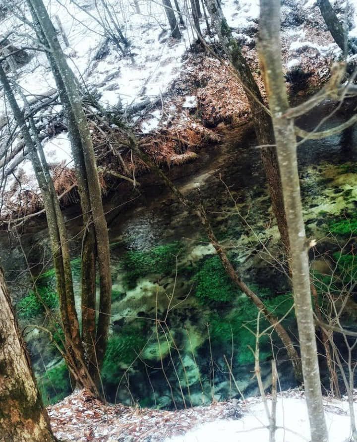
Встреча пешеходов на автовокзале Майкопа до 9.00. Трансфер на смотровую площадку на перевале Азиш, что в 80 км от города. Добравшись до места старта, мы проверили снаряжение, взяли провизию и убежали. Теперь нам предстоит пройти 8 км пешком.
С первых шагов начинается крутой спуск с Азишской дороги к реке Курджипс. Мы перешли реку и по пути зашли в красивый сосновый лес, вдоль дорог, где снова перешли реку Молочку. Здесь, за лесом, есть большие КОШИ (так называемые пастушьи дома). Отдохнем и вернемся в путь..
Meeting of pedestrians at the bus station of Maikop until 9.00. Transfer to the observation point on the Azish Pass, which is 80 km from the city. Having reached the start point, we checked our gear, took provisions and ran off. Now we have to walk 8km.
From the first steps there is a steep descent from Azish Road to Kurdzhips River. We crossed the river and on the way we entered a beautiful pine forest along the road, where we crossed the river Molochka again. Here, behind the forest, there are big COSHES (so called shepherd's houses). Let's rest and get back on the road..
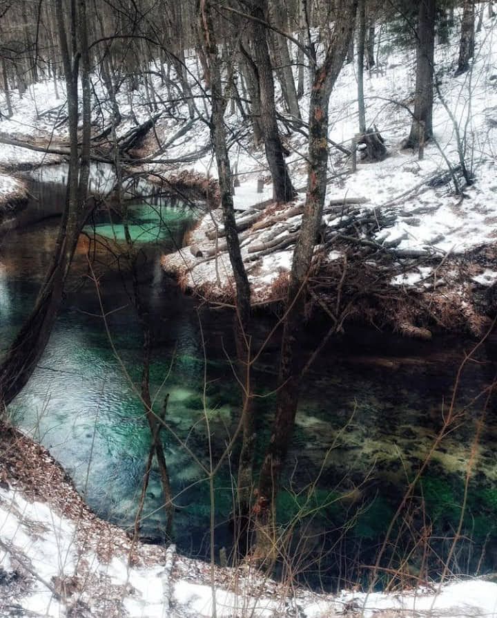
Кроме того, тропа ведет нас в смешанный хвойный воздушный лес. По пути мы несколько раз пересекали небольшие рукава реки Курджипс. В одном из них мы останавливаемся, чтобы посетить очень красивый каньон с небольшими фонтанчиками и фонтанчиками, где в теплую погоду можно искупаться. Вернулись на тропу и, преодолев небольшой подъем, вышли в широкую яму, где разбили лагерь и заночевали.
День 2
Сегодня мы отправимся в радиальную прогулку без рюкзаков на гору Мезмай и далее по горе на гору Матук и скалу Двухэтажка. Мы покинули наш лагерь и отправились в путь. Быстро поднимаясь в Мезмай, мы остановимся, чтобы полюбоваться красивым горным пейзажем Лаго-Наки..
In addition, the trail leads us into a mixed coniferous aerial forest. Along the way we cross the small arms of the Kurdzhips River several times. In one of them we stop to visit a very beautiful canyon with small fountains and fountains, where in warm weather you can swim. We returned to the trail and after overcoming a small rise we came out to a wide pit where we camped and slept for the night.
Day 2
Today we are going on a radial walk without backpacks to Mezmai mountain and further along the mountain to Matuk mountain and the rock Double Decker. We left our camp and hit the road. Quickly climbing up Mezmai, we stop to admire the beautiful mountain scenery of Lago Naki..
С востока видны хребет Азиш-Тау, плато Утюг, долина реки Курджипс и ущелье Курджип. Южнее — плато Мурзика и гора Уриэль. На западе мы видим горы Нагой-Чук, а на севере - Матук. Давайте отправимся туда. С этой вершины открываются еще более захватывающие виды на горы Оштен и Пшеха-Су, а также на каньон Цице – красивейшее место в округе, от которого просто захватывает дух. Размеры каньона впечатляют. Из-за отсутствия видимых троп приходится пересекать каньон прямо по реке, поэтому туда почти никто не ходит. Лучшее время, чтобы попробовать его – конец лета и начало осени, когда уровень воды в реке достигает наименьших значений..
From the east, you can see the Azish-Tau ridge, the Utyug Plateau, the valley of the Kurdzhips River and the Kurdzhip Gorge. To the south - Murzika plateau and Uriel Mountain. To the west we see the Nagoya-Chuk Mountains, and to the north - Matuk. Let's go there. From this peak there are even more breathtaking views of the mountains Oshten and Pshekha-Su, as well as the canyon Tsitse - the most beautiful place in the area, which is simply breathtaking. The size of the canyon is impressive. Because of the lack of visible trails you have to cross the canyon directly on the river, so almost no one goes there. The best time to try it is late summer and early fall, when the water level in the river reaches its lowest levels..
