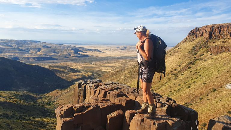
This hike has been imprinted on me. It was an incredible experience and I love sharing this experience through my blog. It’s become a way of documenting my own personal journey on this earth and sharing the amazing beauty around us.
On day 3 of the Erdvark Hike in the Karoo Dessert of South Africa we were in for a long tough day. The hike would take us over a plateau and down along the hogs back type cliffs on slippery screed.
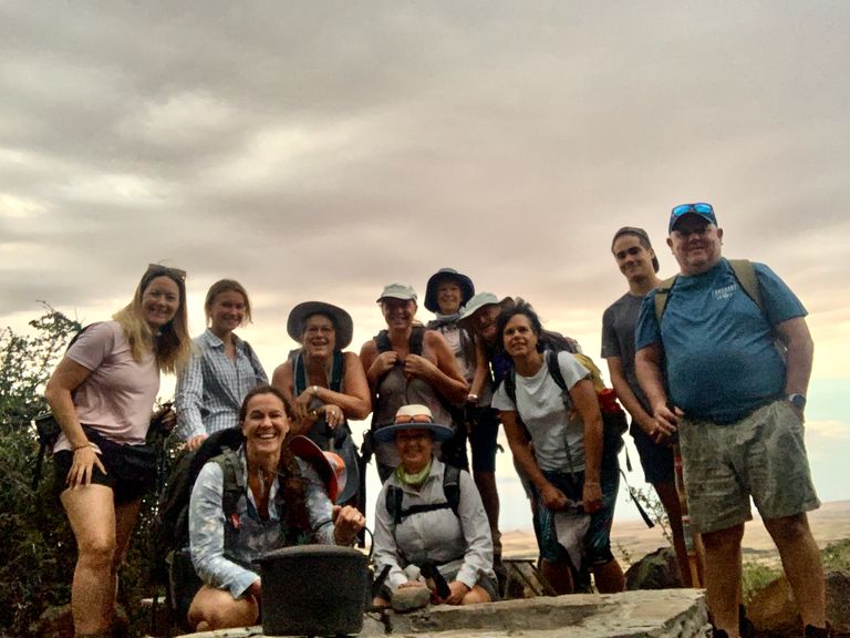
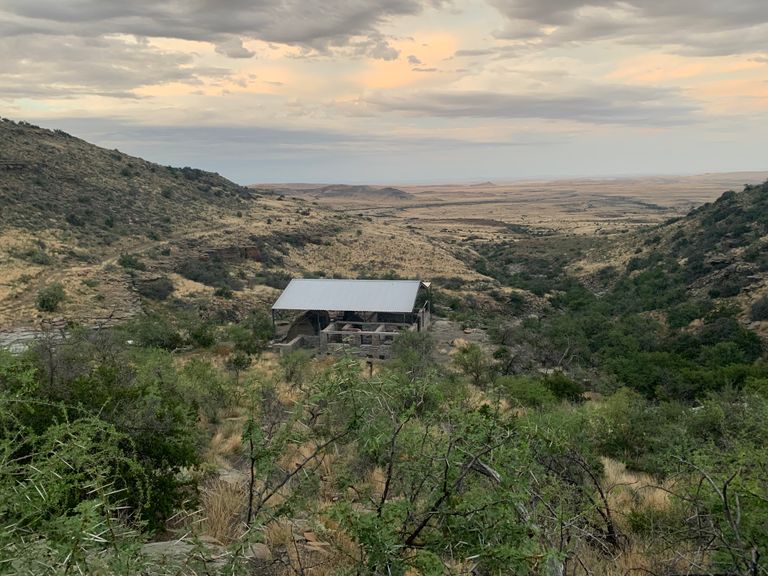
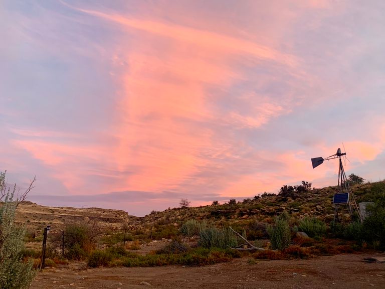
We started early knowing the day would be a challenge and left our camp below in the Kloof with the magnificent views of the flats below. The previous evenings sunset had been majestic with clouds and sun rays followed by thunderstorms and lightning and very little sleep.
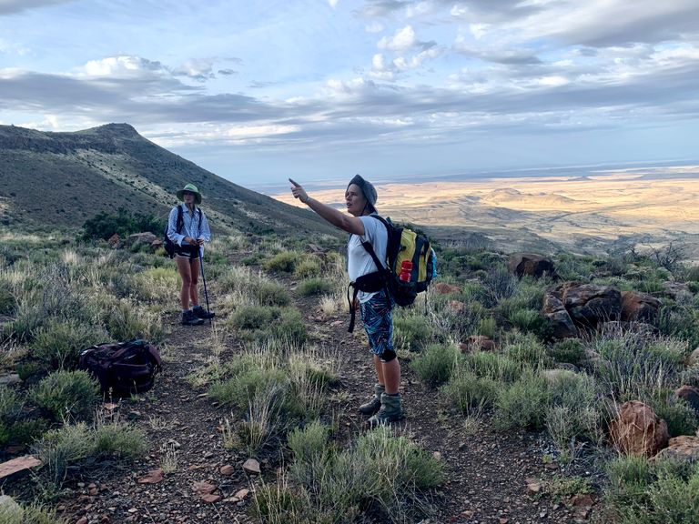
We climbed the first path, following the Erdvark signs until we reached the first intersection and couldn’t find anymore signage. We all spread out and scoured the area, but came to the decision to follow the Jeep track up the hill.
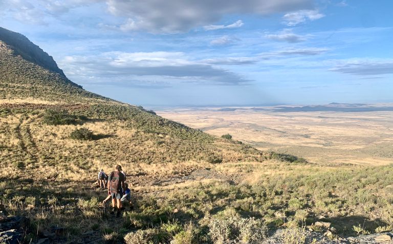
The Jeep track eventually lead to a fence with a gate and there on the ground was a tiny Erdvark sign leading us through the gate onto a rocky single track path.
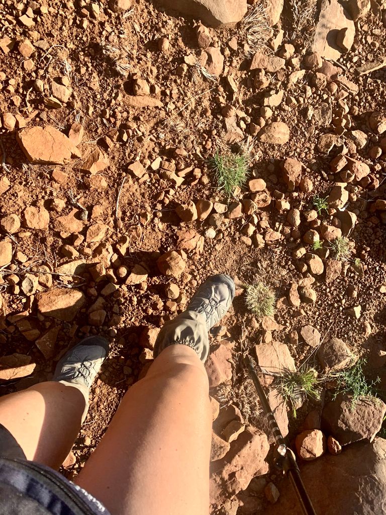
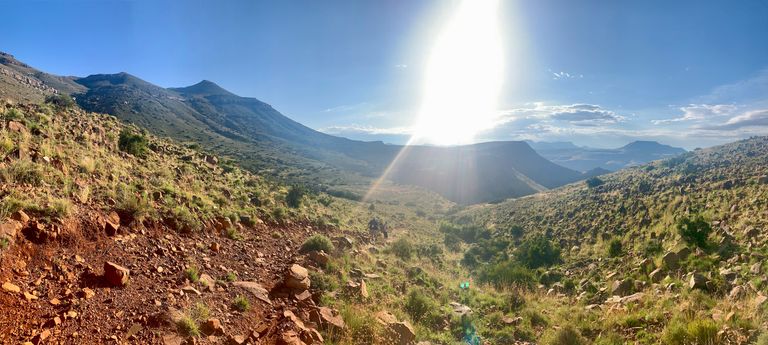
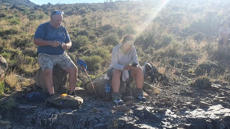
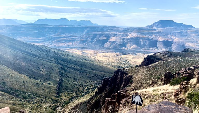
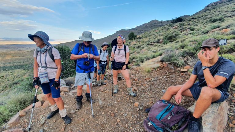
From here the path was tricky, the stones tended to be rolled into balls, which we named Karoo Onions, and were a challenge to walk on. The soles of our feet took the brunt of it and we soon took our first break at the top of a cliff overlooking the vastness of the path we had walked the previous day.
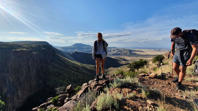
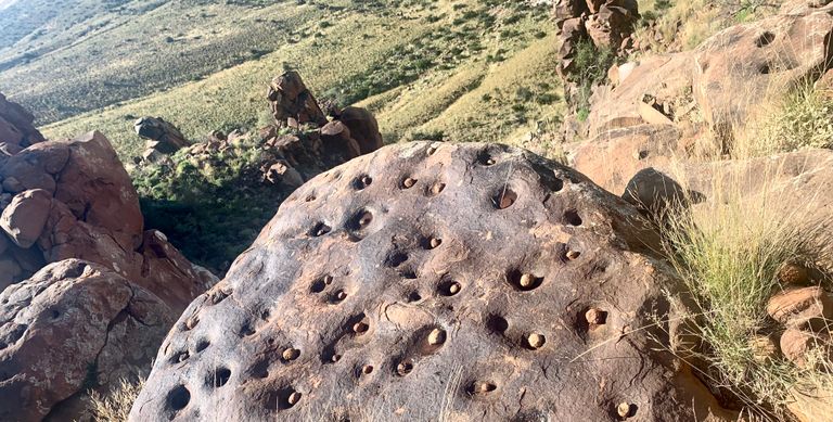
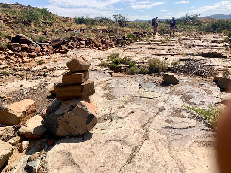
Soon we were back up and on the rocky path on the plateau. The rock formations soon captured our attention with a pin-cushioned boulder filled with small rocks placed by previous hikers.
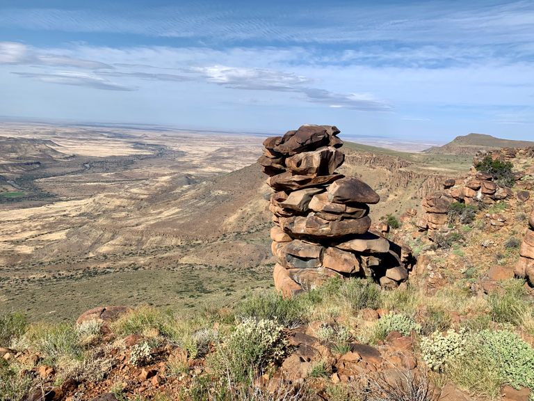
And just on the next bend were pillars of stacked rocks carved out by the weather like giant jenga blocks. It’s hard to imagine these pillars forming over hundreds of years, withstanding the elements and standing in the middle of a dessert for only a few humans to lay eyes on.
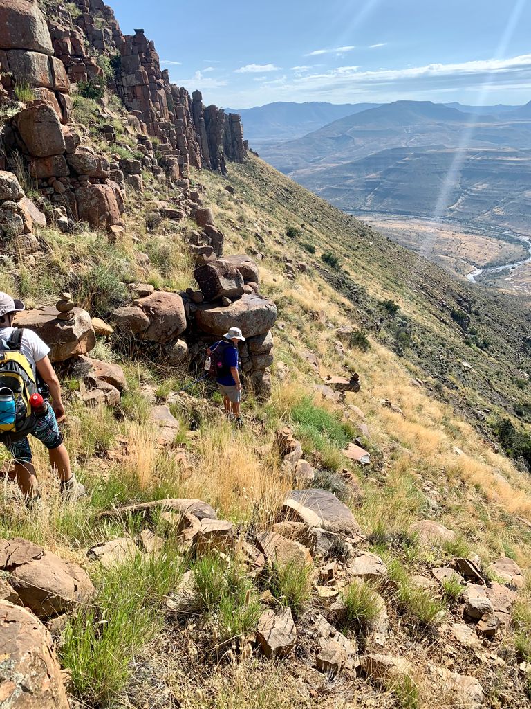
We walked on until the path cut down between the rock formations to a steep slippery screed below that dropped off hundreds of meters to the valley floor below.
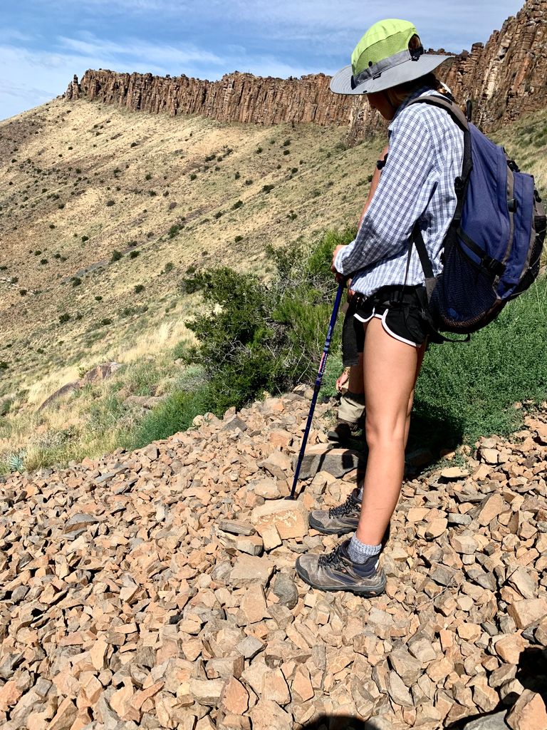
We crawled our way along the narrow screed path avoiding loose stones and watched the ones that we disturbed roll and crash down the slopes as we shuffled along.
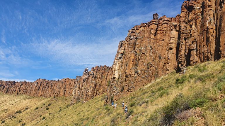
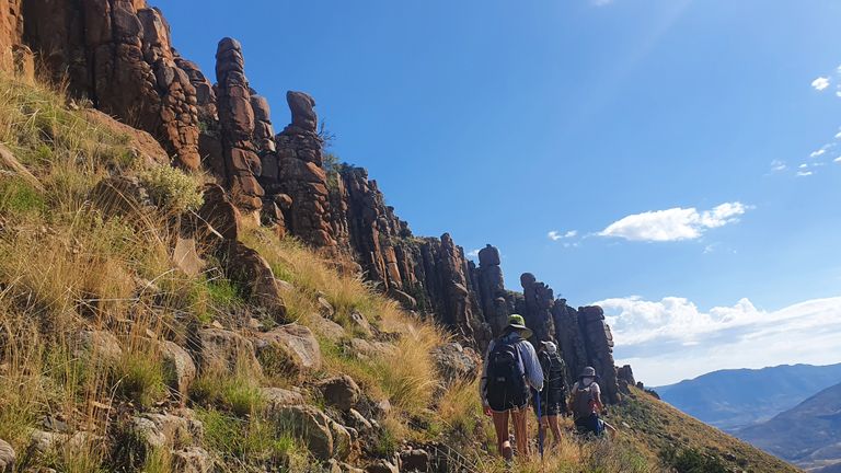
Above us, the hogs back type cliffs loomed as if threatening to slide down on top of us. The narrow screed path seemed to carry on for hours before we finally reached a lower plateau of black and even finer screed that reflected the heat of the dessert back up at us. The wind had picked up as we walked and was now blowing about 50 kilometres per hour up the side of the plateau.

We picked our way along the plateau and descended to our first river with a trickle of water and algae. The 7 year drought had broken only two months before we arrived and the rains had continued to fall filling the underground rivers, and in some places, making an appearance above ground.
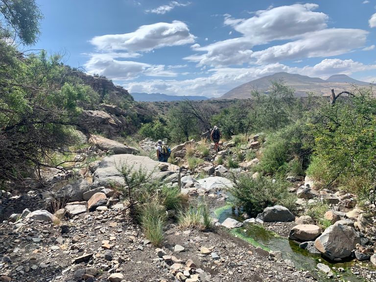
Our path also became elusive at this point and we took a little scramble though some fallen thorn bushes in search of the tiny Erdvark signs. Finally finding the Erdvark in the riverbed, which is most likely usually assumed to be dry, we followed the gently flowing river until the path cut up one side and back onto dry, rocky terrain.
Lunch was a perch on an uncomfortable rock slope trying to hide from the hot wind. Then off we went, scrambling down again. Plateau ledge after plateau ledge, about 6 levels down, until we finally reached the riverbed in the valley that we had seen from high above all day.
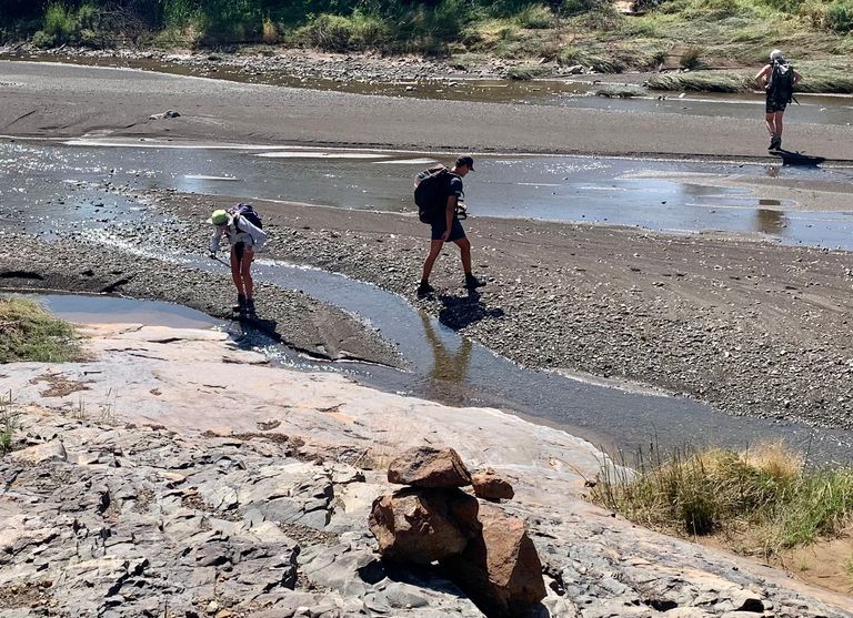
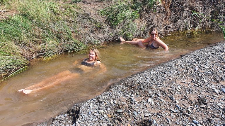
We found a small gulley down one side of the wide shallow river and quickly stripped to our underwear for a dip in the fresh, cold water.
It felt so good to rinse off the sweat and dust of the days hiking. Reinvigorated, we got our boots on and found the path on the other side of the river.
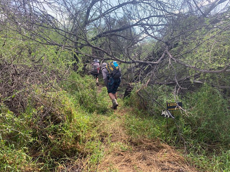
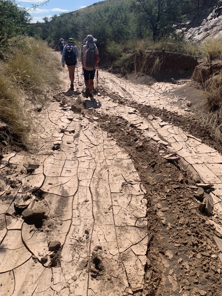
In our minds we thought it would be another kilometre to the Rietvlei hut, but the reality set in as the kilometres stretched into three more, through thorn bushes and mangled trees from the previous nights storm.
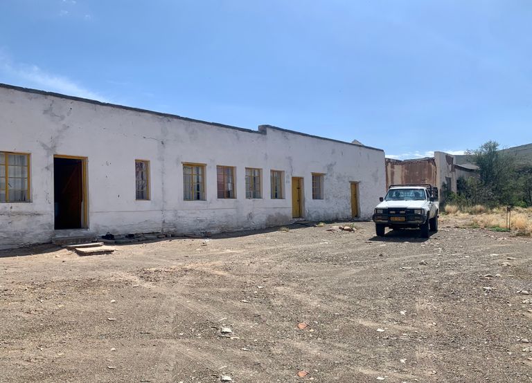
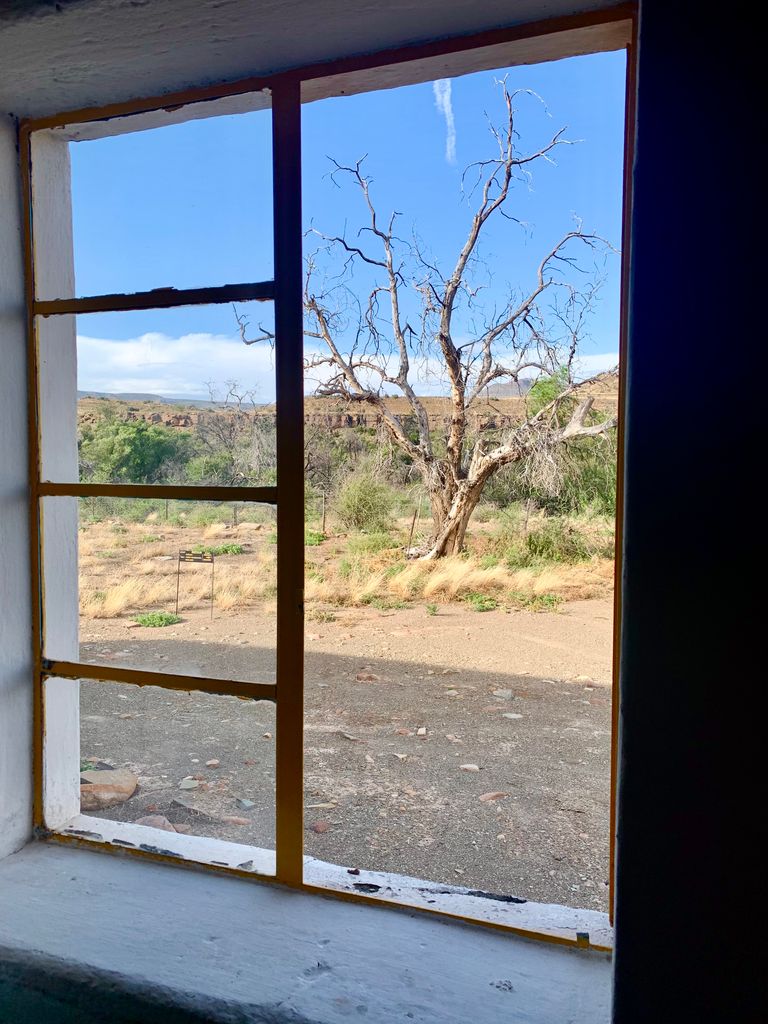
We finally arrived at the derelict school which would be our home for the night. The path that should have been 15 kilometres turned out to be 18.5 kilometres and our feet needed a break. We had walked rocky uneven paths and clung to slippery screed for most of the day and then tension now needed to be released.
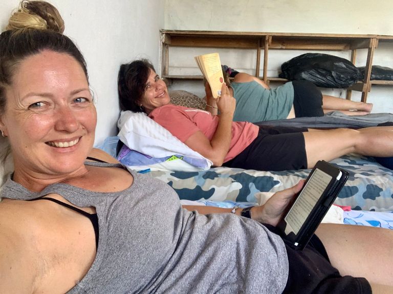
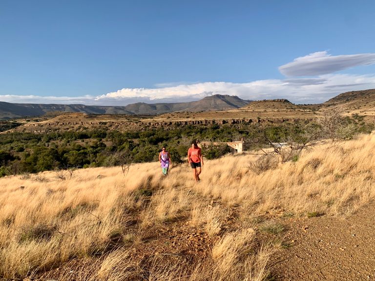
After a little rest on our mattresses in fresh clothes, we walked up the hill behind the school and just on the other side, we found the most beautiful pool! I took full advantage and washed my hair right there. The school had no running water and only a small amount for us to cook and refill our water bottles for the next day, so a swim was the perfect alternative.
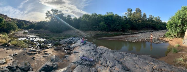
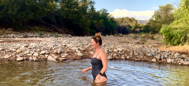
After 7 years of drought we were extremely blessed to have water on this particular hike. It’s almost unheard of.
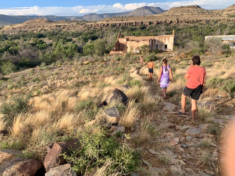
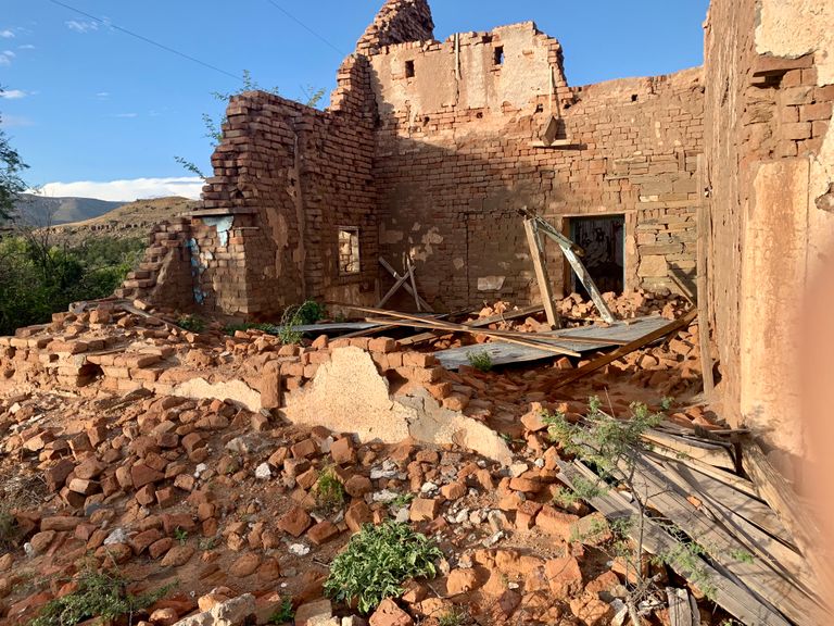
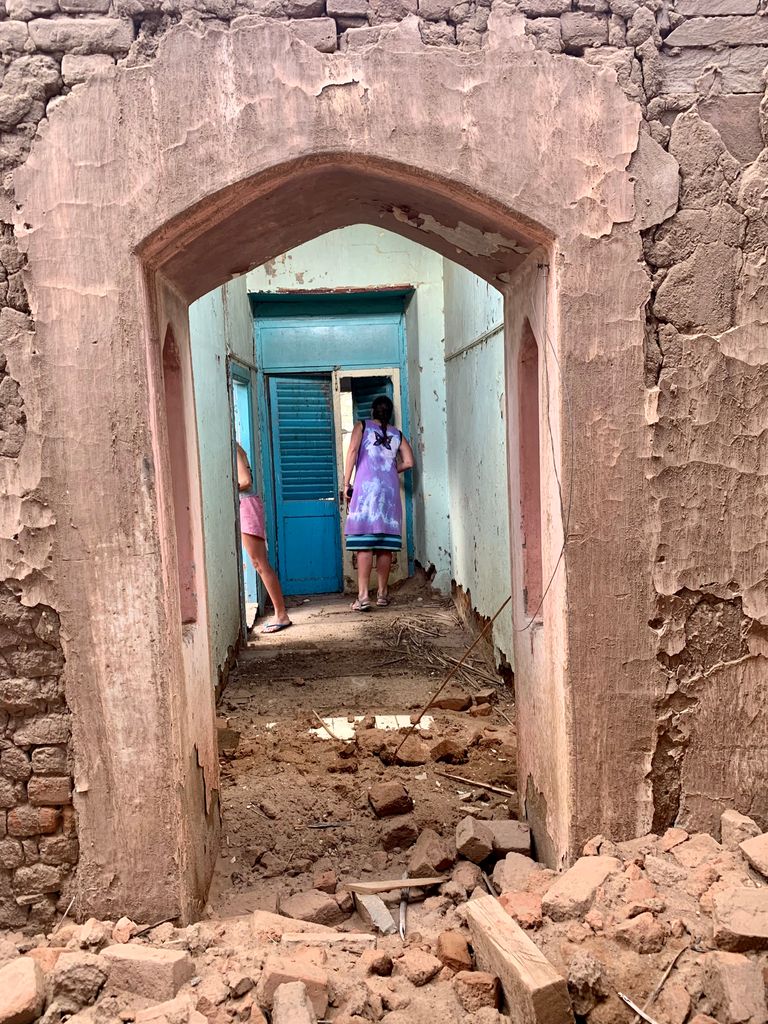
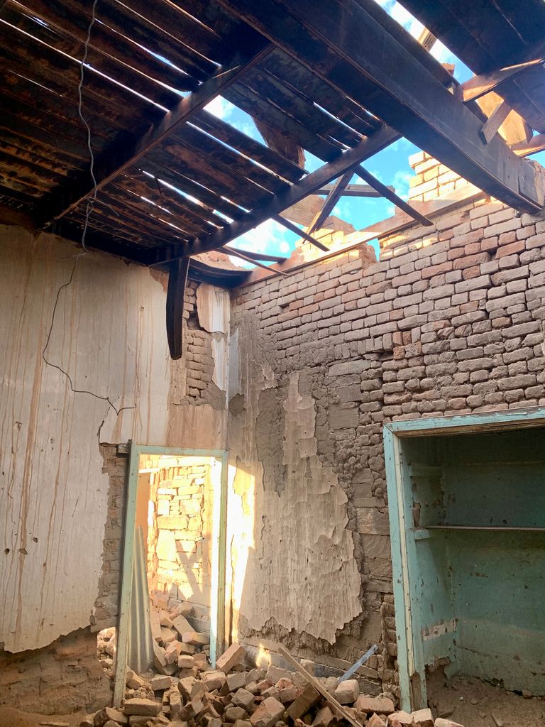
On our walk back to the school we investigated the most beautiful dilapidated house. I can imagine it in its prime, with Oregon pine floors, and stone and mortar walls. The arched doorways seem to have stood the test of time with the marine blue walls, but the roof has collapsed and the walls are most-likely ready to fall down.
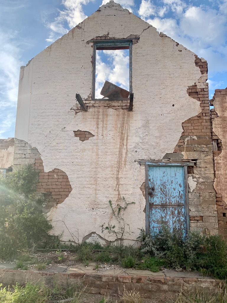
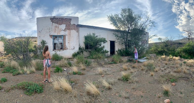
The farmer is slowly dismantling the house and reusing any materials that he can for other projects. It’s sad, but the house would need to be rebuilt in new materials in order to get an occupancy certificate.
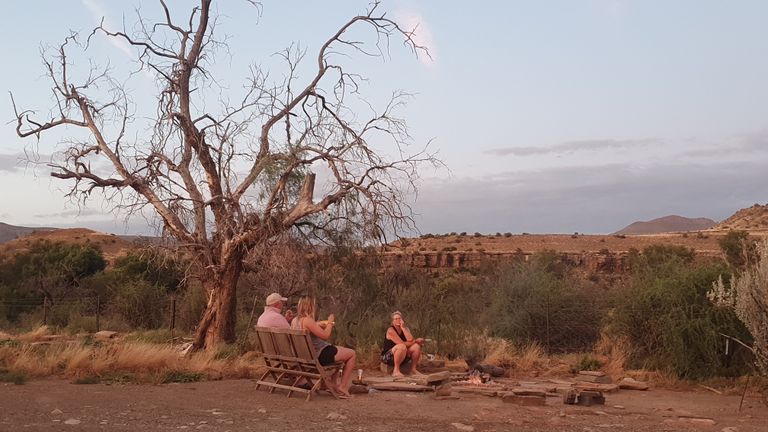
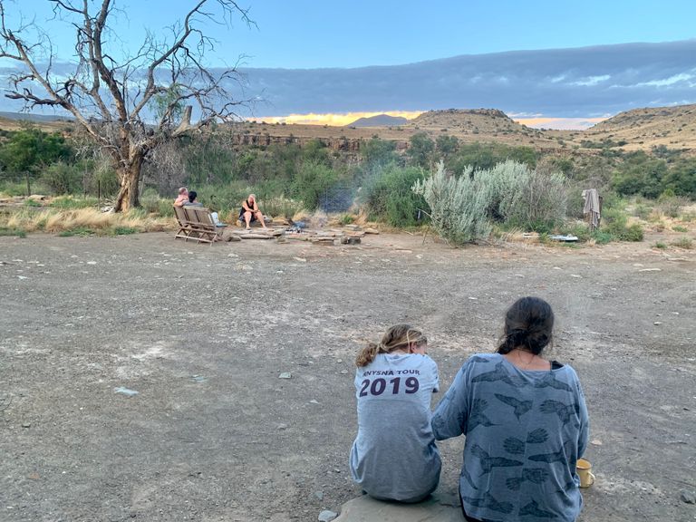
We spent the evening around the fire, eating our noodles and making tea as the sun set behind the hill leaving us in complete darkness except for the bright moon.
I slept ok, no great, but better than the previous night. My sleep was disrupted and I couldn’t seem to find my rhythm in the wild. I had also been eaten alive by the mosquitoes. They just seem to prefer me more than anyone else and my bites swelled up in an angry reaction. I’ll have to find another way to protect myself on the next hike. The creams and sprays just don’t work for me.
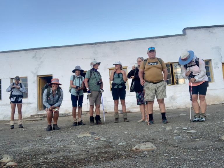
The next morning we were packed and ready to go before the sun had broken over the ridge. But that’s another blog for another day. And it was a slog! I’ll fill you in on the details soon so don’t go too far.