
Nel lago c'è un dettaglio che lo rende isolato dal cielo e dalla musica della montagna. Nella città e nei suoi difetti comprendiamo il sentimento del bello e spesso abbiamo un costante allentamento della tensione, l'accostamento dei colori e del tempo passa in secondo piano. Qui ti diamo alcune opportunità per "uscire dal quadro", o almeno vederlo nel suo insieme. Idee per passeggiate, escursioni, escursioni e grandi spazi aperti. La strada termina dove i tuoi occhi si riempiranno di panorami.
In the lake there is a detail that makes it isolated from the sky and the music of the mountain. In the city and its shortcomings we understand the feeling of beauty and often have a constant loosening of tension, the juxtaposition of colors and weather takes a back seat. Here we give you some opportunities to "step out of the picture," or at least see it as a whole. Ideas for walks, hikes, hikes and the great outdoors. The road ends where your eyes will be filled with views.
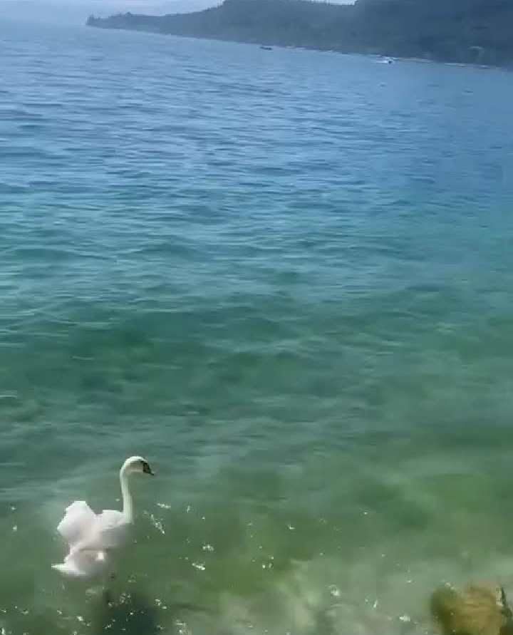
Le attività sono sei, potrebbero essere molte di più, ma in piscina si può sempre andare, questo è un vantaggio da non trascurare per non fermarsi lì. 1. LAGO D'ORTA, DAL SACRO MONTE ALL'ISOLA DI SAN GIULIO Puoi iniziare il viaggio da Orta San Giulio a Novara, da Piazza Motta. Seguire le indicazioni per la Chiesa dell'Assunta, quindi proseguire fino alla porta del Sacro Monte, un grande omaggio alla vita e all'opera di San Pietro. Francesco. Cominciò nel 1590. In uno spettacolare spettacolo d'acqua, dall'altra parte della strada troverete una chiesa che commemora la vita di Francesco d'Assisi.
There are six activities, there could be many more, but in the pool you can always go, this is an advantage not to be overlooked so as not to stop there. LAKE OF ORTA, FROM SACRO MONTE TO SAN GIULIO ISLAND You can start the trip from Orta San Giulio in Novara, from Piazza Motta. Follow the signs to the Church of the Assumption, then continue to the gate of Sacro Monte, a great tribute to the life and work of St. Francis. It began in 1590. In a spectacular water feature, across the street you will find a church commemorating the life of Francis of Assisi.
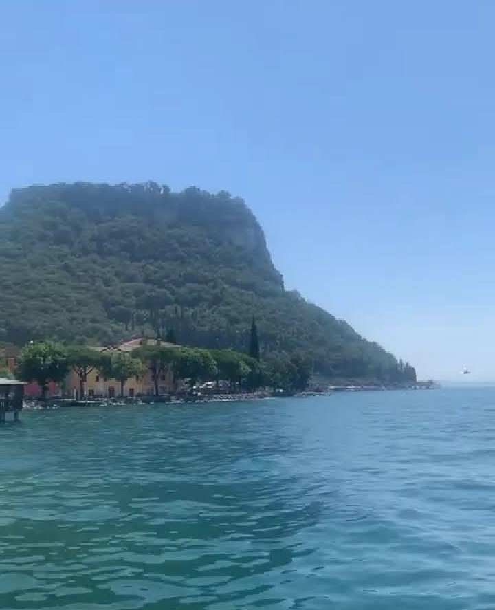
Una volta raggiunta la cima della montagna, i tuoi occhi possono vagare sull'acqua. Per il ritorno si scende dall'altro lato, camminando con attenzione lungo il sentiero che costeggia il lago. Tornati a Orta San Giulio, potete prendere un battello per l'isola di San Giulio, per vedere il lago e il tramonto da un'altra angolazione. - Orta San Giulio è cittadina turistica Bandiera Arancione: scopri di più nella brochure dedicata!
Once you reach the top of the mountain, your eyes can wander over the water. For the return trip, you descend to the other side, walking carefully along the path along the lake. Back in Orta San Giulio, you can take a boat to the island of San Giulio to see the lake and the sunset from a different angle. - Orta San Giulio is an Orange Flag tourist town: find out more in the dedicated brochure!
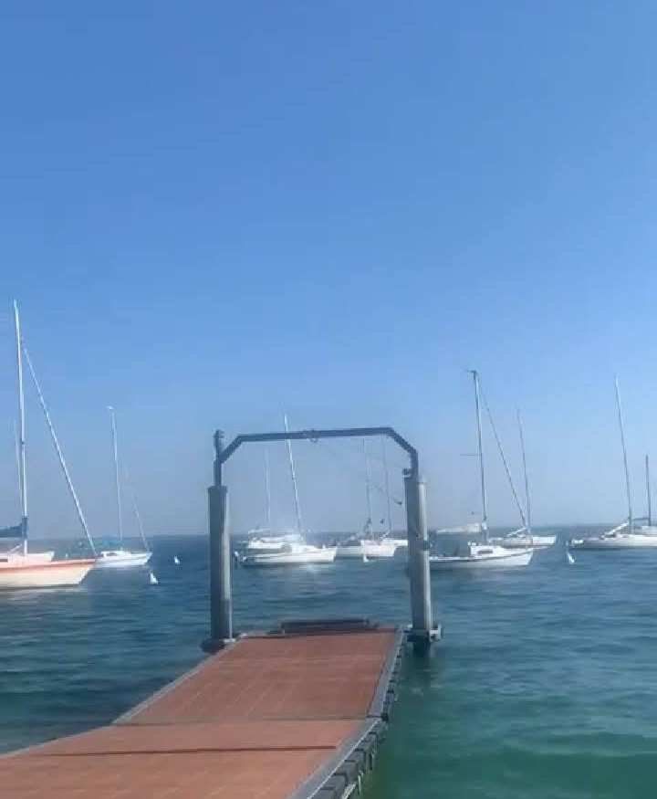
Scopri il Piemonte on the road con la cartina turistica in scala 1:200.000, acquista a prezzi bassi nel nostro negozio online e meta turistica! LAGO DI GARDA, SALTARE DAL MONTE BALDO è la montagna più bella del Veronese, una terrazza panoramica sul Lago di Garda, da cui partire per una facile passeggiata o per una lunga camminata forte e diversa. Creste, piscine e stanze con vista sul Monte Baldo. Sulla collina che scende fino alla riva del lago si gode di una vista panoramica mozzafiato, e tra il sentiero e la mulattiera si può ammirare anche la natura del luogo che non presenta vegetazione. Il modo più semplice e veloce per visitare il Baldo. è un viaggio panoramico in autobus da Malcesine a Bocca Tratto Spino.
Discover Piedmont on the road with 1:200,000 scale tourist map, buy at low prices in our online store and tourist destination! LAKE GARDA, JUMPING FROM MONTE BALDO is the most beautiful mountain in the Veronese region, a panoramic terrace overlooking Lake Garda, from which to set off on an easy walk or a long, strong and different hike. Ridges, pools and rooms with views of Mount Baldo. There are breathtaking panoramic views on the hillside down to the shore of the lake, and between the path and the mule track you can also admire the nature of the place that has no vegetation. The easiest and fastest way to visit Baldo. is a scenic bus ride from Malcesine to Bocca Tratto Spino.
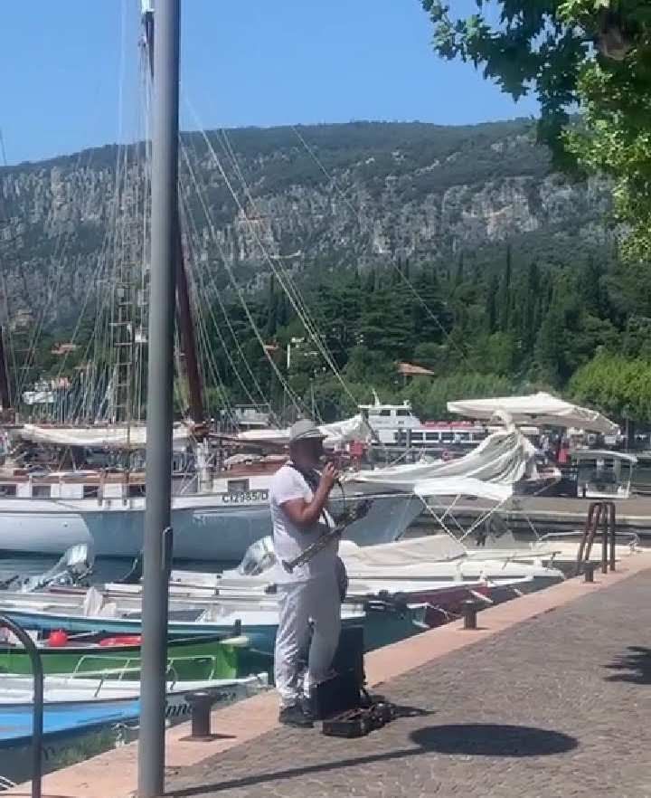
Giunti in cima alla montagna, a quasi 1.800 metri sul livello del mare, potrete scegliere tra una rete di circuiti e percorsi. Ce ne sono di facili e brevi (poco più di un'ora) che conducono tra alpeggi, rifugi e rifugi. C'è anche un sentiero lungo e difficile, con pendenze e pendii e fianchi ripidi ed esposti, che, dalla sommità della collina, conduce attraverso i prati ricchi di alberi fino a San Michele a Malcesine stessa. Malcesine è una cittadina dalle potenzialità turistiche con il Padiglione Arancione: scopri di più nella scheda dedicata!
Scopri la nuova Guida Verde del Lago di Garda e del Veneto, acquistala a prezzo scontato nel nostro negozio online e centro turistico! L'antica strada del Ponale tra Riva del Garda e la Valle di Ledro, scavata nella roccia a metà dell'Ottocento e abbandonata dopo la costruzione del lungo tunnel tra Riva del Garda e Molina di Ledro sotto la strada che attraversa 240 città. Oggi . Il sentiero circolare che collega il lago offre viste spettacolari. Partiamo da Riva del Garda e, superato il porto del Ponale, iniziamo subito a salire sulla strada che si aggrappa al fianco della montagna, passando sotto piccoli tunnel, guardando da vicino il Garda sulla sinistra.
Once you reach the top of the mountain, nearly 1,800 meters above sea level, you can choose from a network of circuits and trails. There are easy and short ones (just over an hour) that lead between alpine pastures, huts and refuges. There is also a long and difficult trail, with steep and exposed slopes and flanks, that, from the top of the hill, leads through tree-rich meadows to San Michele in Malcesine itself. Malcesine is a town of tourism potential with the Orange Pavilion: find out more in the dedicated tab!
Discover the new Green Guide to Lake Garda and Veneto, buy it at a discounted price in our online store and tourist center! The ancient Ponale road between Riva del Garda and Ledro Valley, carved into the rock in the mid-19th century and abandoned after the construction of the long tunnel between Riva del Garda and Molina di Ledro under the road through 240 towns. Today . The circular trail that connects the lake offers spectacular views. We start from Riva del Garda and, past the Ponale harbor, immediately begin to climb the road that clings to the mountainside, passing under small tunnels, looking closely at Garda on the left.
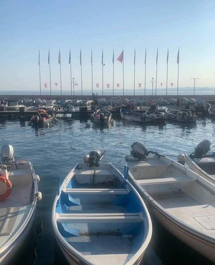
Dopo 2 chilometri, un po' più in alto. In cima, dove la strada prosegue per il Monte Pregasina, svoltiamo a destra nella valle del torrente Ponale e seguiamo il sentiero (che qui si separa da quello percorribile in mountain bike) che è continuo. . nel bosco della valle di Ledro. Con un breve tratto su asfalto superiamo l'abitato di Biacesa, entriamo nel centro di Pre di Ledro e siamo già entrati nella salita che porta a Molina e al Lago di Ledro. L'intero percorso è lungo quasi 10 chilometri e richiede circa 3 ore di cammino (con un dislivello di 660 metri). Nulla vieta di limitarsi al primo tratto affacciato sul Lago di Garda, per poi svoltare i propri passi, oppure proseguire fino a Pregasina e alla terrazza panoramica affacciata sul lago. - Ledro è una cittadina dal potenziale turistico con il Padiglione Arancione: per saperne di più consulta la scheda dedicata!
Scopri il Lago di Ledro nella Guida Verde del Trentino Alto Adige, acquistalo a prezzi bassi nel nostro negozio online e meta turistica!
After 2 kilometers, a little higher. At the top, where the road continues to Mount Pregasina, we turn right into the Ponale stream valley and follow the trail (which here separates from the mountain bike trail) that is continuous . . in the woods of the Ledro valley. With a short stretch on asphalt we pass the village of Biacesa, enter the center of Pre di Ledro, and have already entered the climb that leads to Molina and Lake Ledro. The entire route is almost 10 kilometers long and requires about 3 hours of walking (with an elevation gain of 660 meters). There is no prohibition against limiting oneself to the first section overlooking Lake Garda, then turning one's steps, or continuing to Pregasina and the panoramic terrace overlooking the lake. - Ledro is a town with tourist potential with the Orange Pavilion: read more about it in the dedicated tab!
Discover Ledro Lake in the Green Guide of Trentino Alto Adige, buy it at low prices in our online store and tourist destination!
Hi @chanelgal26, great news! Your content was selected by curators @nalexadre, @ten-years-before to receive a special curation from BeBlurt 🎉 Don't hesitate to upvote this comment as the curators will receive 80% of the rewards for their involvement.
You can support us by voting for our witness, our decentralized funding proposal, or through delegation. You're also welcome to join our Discord server 👉 https://discord.beblurt.com
thank you