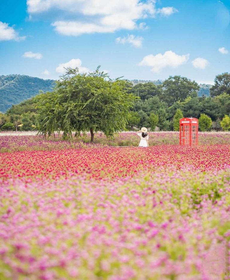
Hallasan National Park
South Korea Asia Icon Asia
Hallasan National Park is located on Jeju Island, off the southern coast of South Korea. The national park covers an area of 153.11 km², making it the 10th smallest of the 22 national parks. It is the only national park not managed by the Korea National Park Service, and it is the only national park in Korea that is also a UNESCO World Heritage Site.
The center of the national park is Hallasan, which is the highest mountain in South Korea. Along with Jirisan (1,915 m) in Jirisan National Park and Seoraksan (1,708 m) in Seoraksan National Park, it is recognized as one of the three main mountains of South Korea, rising to 1,947 m, 06 m .
Parco nazionale di Hallasan
Corea del Sud Asia Icona Asia
Il Parco nazionale di Hallasan si trova sull'isola di Jeju, al largo della costa meridionale della Corea del Sud. Il parco nazionale copre un'area di 153,11 km², che lo rende il decimo più piccolo dei 22 parchi nazionali. È l'unico parco nazionale non gestito dal Servizio nazionale dei parchi della Corea ed è l'unico parco nazionale della Corea che è anche un sito del patrimonio mondiale dell'UNESCO.
Il centro del parco nazionale è Hallasan, la montagna più alta della Corea del Sud. Insieme a Jirisan (1.915 m), nel Parco nazionale di Jirisan, e Seoraksan (1.708 m), nel Parco nazionale di Seoraksan, è riconosciuta come una delle tre montagne principali della Corea del Sud, con un'altezza di 1.947 m, 06 m e 10 m.
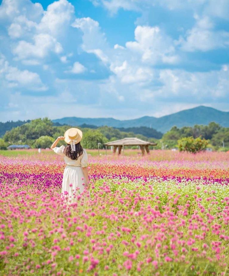
South Koreans often say: "Jeju Island is Hallasan and Hallasan is Jeju." » Without a doubt, the mountain is the highest point of the park and the main attraction. Grasses vary according to altitude, and 10% of the 4,000 species are considered exotic. The subtropical plants are from the coast and the lower mountains of the mountain region, while the vegetation changes to alpine plants as the altitude increases. Although the island is not known for its wildlife, visitors can expect to see badgers, wildebeest, Formosan deer, deer, deer and weasels.Visiting the national park is a must-see for travelers to the famous Jeju Island. The park is famous for its refuge, Mount Hallasan.
I sudcoreani dicono spesso: “L'isola di Jeju è Hallasan e Hallasan è Jeju”. “Senza dubbio, la montagna è il punto più alto del parco e l'attrazione principale. Le erbe variano a seconda dell'altitudine e il 10% delle 4.000 specie sono considerate esotiche. Le piante subtropicali provengono dalla costa e dalle montagne più basse della regione montuosa, mentre la vegetazione passa a piante alpine con l'aumentare dell'altitudine. Sebbene l'isola non sia nota per la sua fauna selvatica, i visitatori possono aspettarsi di vedere tassi, gnu, cervi formosani, daini, cerbiatti e donnole.Visitare il parco nazionale è una tappa obbligata per chi viaggia nella famosa isola di Jeju. Il parco è famoso per il suo rifugio, il monte Hallasan.
Hallasan
Mount Hallasan is a volcano. It rises to 1,947.06 m, making it the highest mountain in South Korea. Along with Jirisan at 1,915 m, located in Jirisan National Park, and Seoraksan at 1,708 m, located in Seoraksan National Park, it is recognized as one of the three mountains in South Korea. The mountain is considered a sacred place where gods and spirits live, and is revered by some South Koreans. The city's name means "great enough to attract the universe".
Baengnokdam is a mountain lake with a depth of about 100 m. The lake area is about 2 km.
Hallasan
Il monte Hallasan è un vulcano. Con i suoi 1.947,06 m di altezza, è la montagna più alta della Corea del Sud. Insieme a Jirisan (1.915 m), situato nel Parco nazionale di Jirisan, e Seoraksan (1.708 m), situato nel Parco nazionale di Seoraksan, è riconosciuto come una delle tre montagne della Corea del Sud. La montagna è considerata un luogo sacro dove vivono divinità e spiriti ed è venerata da alcuni sudcoreani. Il nome della città significa “abbastanza grande da attirare l'universo”.
Baengnokdam è un lago di montagna con una profondità di circa 100 m. L'area del lago è di circa 2 km.
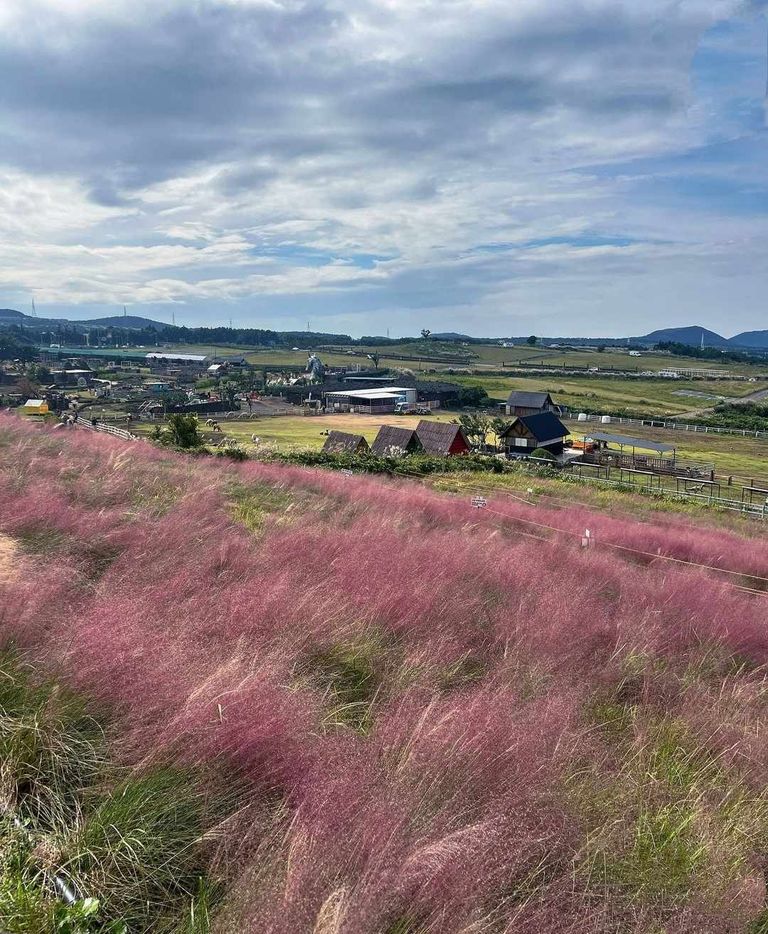
Gwaneumsa
Gwaneumsa is a cultural exhibition of national parks. Built during the Goryeo Dynasty and completed in 1083, it is the oldest Buddhist temple on the island. It was rebuilt after it was destroyed in 1702, making Buddhism and tourism in the area, one of the most popular places. Activities to do:
Hiking is a major activity in national parks and you can view trail information in the hiking section below.
Hallasan National Park Road
The mountain offers five different routes to climb the mountain. There are seven different routes that allow visitors to explore different parts of Hallasan and around the mountain. Some trails have foot bridges and stairs to make the ascent easier and protect the environment. Garden security
Hallasan National Park was created to protect some of the most beautiful wilderness areas on Jeju Island. It also protects the land around Hallasan, home to South Korea's highest mountain. The national park preserves about 400 species of plants that are considered endangered.
Gwaneumsa
Gwaneumsa è una mostra culturale dei parchi nazionali. Costruito durante la dinastia Goryeo e completato nel 1083, è il più antico tempio buddista dell'isola. È stato ricostruito dopo essere stato distrutto nel 1702, rendendo il buddismo e il turismo della zona uno dei luoghi più popolari. Attività da fare:
L'escursionismo è una delle attività principali dei parchi nazionali e potete consultare le informazioni sui sentieri nella sezione escursionismo qui sotto.
Strada del Parco Nazionale di Hallasan
La montagna offre cinque diversi percorsi per scalarla. Ci sono sette diversi percorsi che permettono ai visitatori di esplorare diverse parti di Hallasan e intorno alla montagna. Alcuni percorsi sono dotati di ponti pedonali e scale per facilitare la salita e proteggere l'ambiente. Sicurezza del giardino
Il Parco nazionale di Hallasan è stato creato per proteggere alcune delle più belle aree selvagge dell'isola di Jeju. Protegge anche il territorio intorno ad Hallasan, che ospita la montagna più alta della Corea del Sud. Il parco nazionale conserva circa 400 specie di piante considerate a rischio di estinzione.
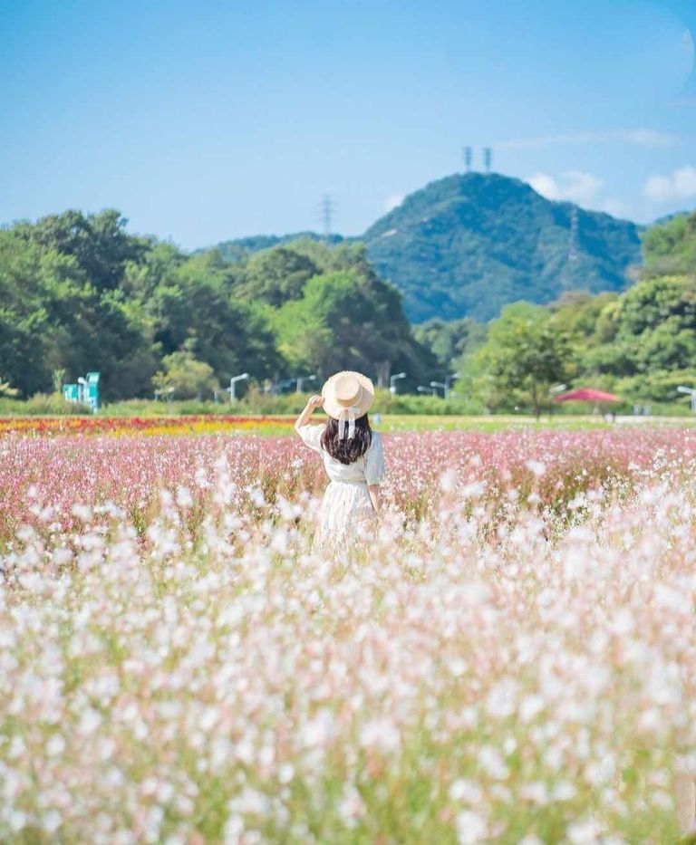
The habitat is home to 19 species of birds classified as natural monuments of the country. Efforts to protect the park in South Korea have helped increase the number of endangered deer in the area.
The Hallasan area is recognized as a UNESCO Biosphere Reserve and World Heritage Site. It is a great asset for the country and the people of South Korea. The Eorimik route is one of the easiest routes to use in Hallasan. It is popular with couples (Jeju is a popular destination for Korean couples) or families traveling with children or the elderly. After having lunch and taking some time to appreciate the mountain, we started our descent. We chose the Eorimik route, as it would be easier, while the beautiful Yeongsil route would give us a different view of the mountain. The trail starts with a foot bridge that takes you to a grassy area
L'habitat ospita 19 specie di uccelli classificati come monumenti naturali del Paese. Gli sforzi per proteggere il parco della Corea del Sud hanno contribuito ad aumentare il numero di cervi in via di estinzione nell'area.
L'area di Hallasan è riconosciuta come riserva della biosfera e patrimonio mondiale dell'UNESCO. È una grande risorsa per il Paese e per la popolazione della Corea del Sud. Il percorso Eorimik è uno dei più facili da percorrere ad Hallasan. È popolare tra le coppie (Jeju è una destinazione popolare per le coppie coreane) o le famiglie che viaggiano con bambini o anziani. Dopo aver pranzato e aver preso un po' di tempo per apprezzare la montagna, abbiamo iniziato la discesa. Abbiamo scelto il percorso Eorimik, perché sarebbe stato più facile, mentre il bellissimo percorso Yeongsil ci avrebbe offerto una vista diversa della montagna. Il sentiero inizia con un ponte pedonale che conduce a un'area erbosa.
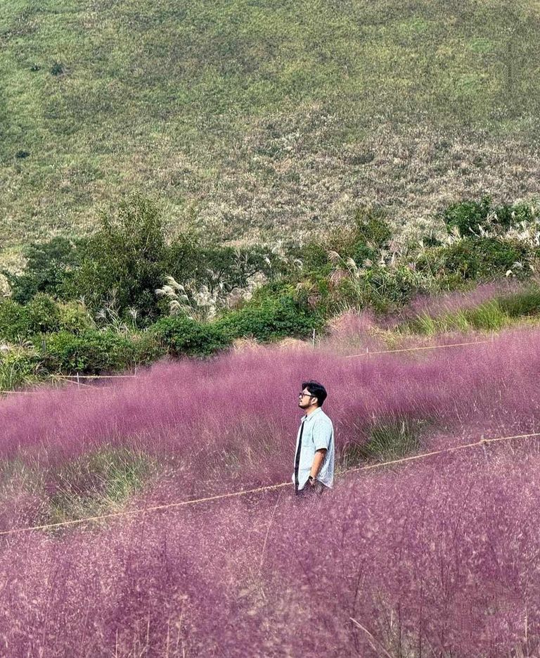
. With the sun and clear sky, everything is beautiful. There is a view at the beginning of this trail and it gives you a nice view of Jeju city below and the oreums in the distance. Families with children and couples continue to rise. The walk leads to a staircase that eventually leads to a small rock formation. The system appears after this. It's good to wear walking shoes, not sneakers, which I regret not doing, because the stones hurt when the pressure increases.Just when I thought it was getting easier, the trail turned into an endless series of stone stairs. We were approaching the bottom of the land, entering the forest, and it was beautiful with autumn colors. At first, the pain of landing on a broken rock was lessened by the joy I felt in the colors around me.
Con il sole e il cielo limpido, tutto è bellissimo. All'inizio di questo sentiero c'è un panorama che offre una bella vista sulla città di Jeju sottostante e sugli Oreum in lontananza. Famiglie con bambini e coppie continuano a salire. La passeggiata conduce a una scala che alla fine porta a una piccola formazione rocciosa. Dopo di essa appare l'impianto. È bene indossare scarpe da trekking e non da ginnastica, cosa che mi sono pentita di non aver fatto, perché le pietre fanno male quando la pressione aumenta.Proprio quando pensavo che stesse diventando più facile, il sentiero si è trasformato in una serie infinita di scale di pietra. Ci stavamo avvicinando al fondo del terreno, entrando nel bosco, ed era bellissimo con i colori dell'autunno. All'inizio, il dolore per l'atterraggio su una roccia rotta era attenuato dalla gioia che provavo per i colori che mi circondavano.
Unlike the Yeongsil Road, which takes you to the top of the mountain, this road avoids the bird's eye view of the valley and follows an easy path that goes into the forest. It will be easy to climb up. However, if you have problems with your knees or ankles, it can be painful and stressful with hard steps. If you skip a step or aren't careful enough, you can sprain your leg. Other travelers quickly passed me, Basil didn't have much trouble, but I struggled to find my balance without hurting my knee, which was showing signs of stress. The forest is rotting, large trees have been uprooted, exposing their roots, and many of the branches are bare. There are a few streams that have not lost their strength and fall slowly at the intersection of the forest. Although the branches are bare, the base is green with grass or trees that have survived the fall.
A differenza della Yeongsil Road, che porta in cima alla montagna, questa strada evita la vista a volo d'uccello sulla valle e segue un facile sentiero che si addentra nella foresta. La salita sarà facile. Tuttavia, se avete problemi alle ginocchia o alle caviglie, la salita può essere dolorosa e stressante a causa dei gradini troppo duri. Se saltate un gradino o non siete abbastanza attenti, potete slogarvi una gamba. Altri viaggiatori mi hanno superato rapidamente, Basil non ha avuto grossi problemi, ma io ho faticato a trovare l'equilibrio senza farmi male al ginocchio, che mostrava segni di stress. La foresta è in decomposizione, i grandi alberi sono stati sradicati, esponendo le loro radici, e molti rami sono spogli. Ci sono alcuni ruscelli che non hanno perso la loro forza e cadono lentamente all'incrocio della foresta. Sebbene i rami siano spogli, la base è verde di erba o di alberi sopravvissuti alla caduta.
There were times along the way that I thought I would never go anywhere else. And walking like a rhythm. Either you have it or you don't. Whether you're walking on flat ground, uphill or downhill, it's all about how to breathe, balance your weight and use your feet properly. In preparation for this trip, I walked a lot, managed to improve my gait and control my breathing. This made climbing the mountain difficult. As I went down, I thought I had forgotten what I had learned on all those trips. Instead of slowing down, I was stalling, and my old fear of injury was flooding into my head. It's a tough part and I understand why this sign of the trail is red. We finally managed to cross the river.
In alcuni momenti del cammino ho pensato che non sarei mai andato da nessun'altra parte. E camminare è come un ritmo. O ce l'hai o non ce l'hai. Sia che si cammini in piano, in salita o in discesa, tutto sta nel saper respirare, bilanciare il peso e usare i piedi in modo corretto. In preparazione a questo viaggio, ho camminato molto, sono riuscito a migliorare l'andatura e a controllare la respirazione. Questo ha reso difficile la scalata della montagna. Scendendo, ho pensato di aver dimenticato ciò che avevo imparato in tutte quelle gite. Invece di rallentare, mi sono bloccata e la mia vecchia paura di infortunarmi si è fatta strada nella mia testa. È un tratto difficile e capisco perché questo segno del sentiero è rosso. Finalmente riuscimmo ad attraversare il fiume.
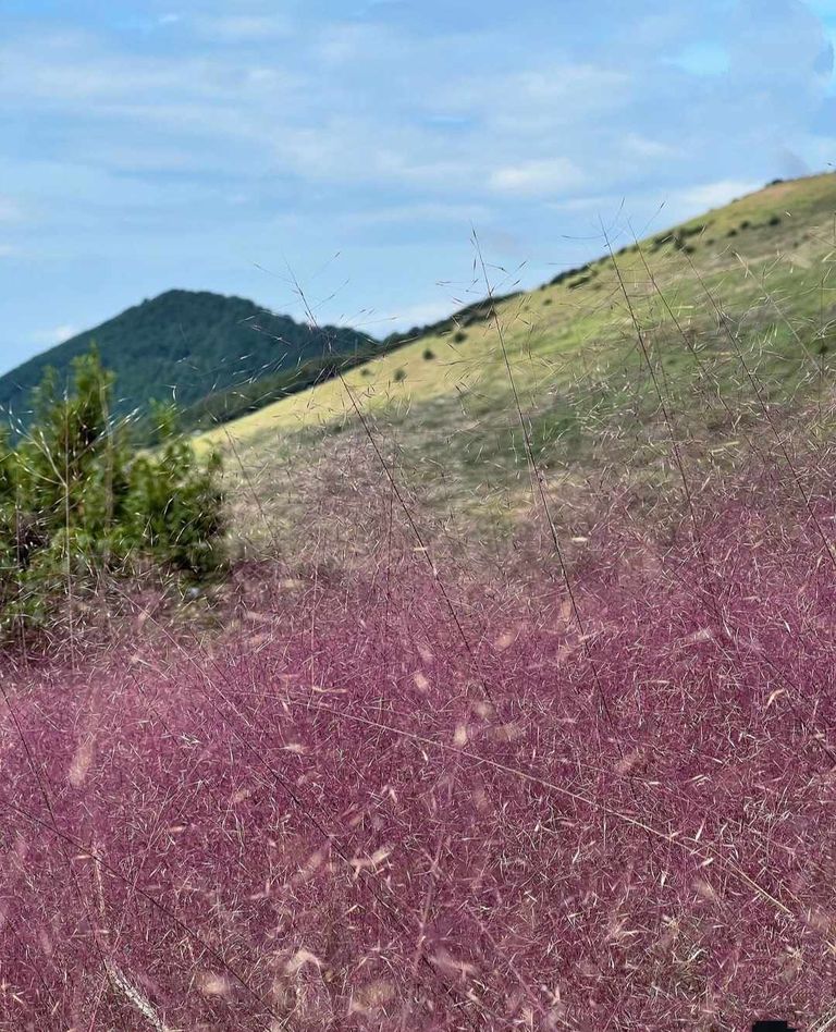
The river has dried up and the bridge looks strangely over the stone bridge. The plants are bright in orange and yellow and are beautiful. It's worth it and that's the beauty of tourism. There is always a piece of paradise waiting for us on the other side of the road to hell. When we left Hallasan National Park, I was tired, but I was glad to do it. And it's strange, as I write this journal, almost two months after we left, I don't remember pain or fatigue, but the beauty and silence of the forest. We walked slowly down the well-maintained driveway (which seemed luxurious now) from the driveway to the parking lot, surrounded by the glistening trees and the chirping of wild birds. around. It took maybe a kilometer or two to get to the bus station. Fortunately, the trees supported me and I was happy. We arrived at the bus stop and waited 20 minutes before the taxi stopped. The driver told us that the bus would not come and that we would have to take a taxi back to our hotel in Jungmun. Jeju has been a wonderful discovery and I know we will be back.
Il fiume si è prosciugato e il ponte ha un aspetto strano rispetto al ponte di pietra. Le piante sono arancioni e gialle e sono bellissime. Ne vale la pena e questo è il bello del turismo. C'è sempre un pezzo di paradiso che ci aspetta dall'altra parte della strada dell'inferno. Quando abbiamo lasciato il Parco Nazionale di Hallasan, ero stanco, ma ero contento di averlo fatto. Ed è strano, mentre scrivo questo diario, quasi due mesi dopo la partenza, non ricordo il dolore o la fatica, ma la bellezza e il silenzio della foresta. Camminammo lentamente lungo il vialetto ben curato (che ora sembrava lussuoso) dal vialetto al parcheggio, circondati dagli alberi scintillanti e dal cinguettio degli uccelli selvatici. intorno. Ci sono voluti forse uno o due chilometri per arrivare alla stazione degli autobus. Per fortuna gli alberi mi sostenevano e io ero felice. Arrivati alla fermata dell'autobus, abbiamo aspettato 20 minuti prima che il taxi si fermasse. L'autista ci ha detto che l'autobus non sarebbe arrivato e che avremmo dovuto prendere un taxi per tornare al nostro hotel a Jungmun. Jeju è stata una scoperta meravigliosa e so che torneremo.