
After our trip to Mt. Tom and Basin Mtn. my mom, her friend Ann, and I, headed up into the White mountains to climb to the top of White Mountain peak! The third highest peak in California at 14,252' tall! To get to the trailhead it was a really long drive up a dirt road, but the views were awesome. We drove up and up eventually getting above the Bristlecone pines and into the barren high altitude "moonscape" as we arrived at the 11,680' high trailhead. We setup our camp, did a short evening hike, and then headed to bed early so we could get an early start in the morning.
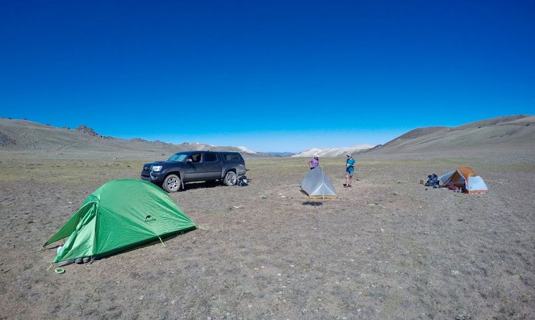
Camping at the trailhead
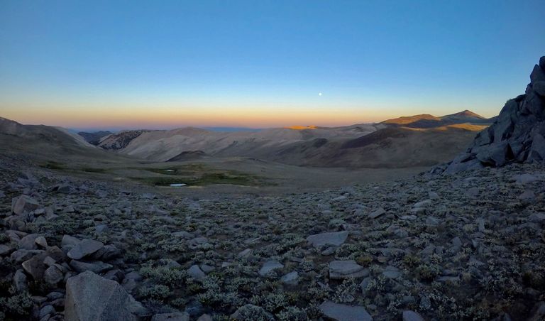
Evening views from near camp
We got up at first light and hit the trail shortly after sun up. We climbed the first two miles up to the Barcroft research station, where they study the effects of altitude on physiology. From there we continued up and over the east ridge of Mt. Barcroft, dropped down through a large valley and the climbed again up and over another ridge before starting the final climb up to the summit. The seven mile long trail was fairly easy, but the sun exposure and thin air added a bit to the difficulty. And since it was a weekend, there were quite a few people on the trail, but we were moving quick and I was able to pass them all and arrive first on the summit. I took some pictures, checked out the summit hut, and then found a spot to sit and relax and enjoy the huge views while all the other hikers arrived.
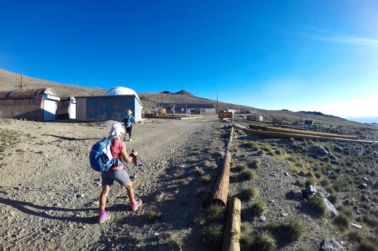
Hiking through the Barcroft research station
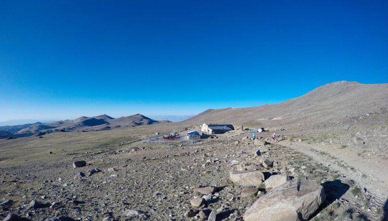
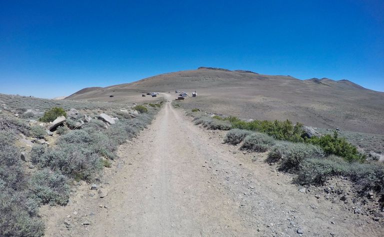
Climbing up above the research station
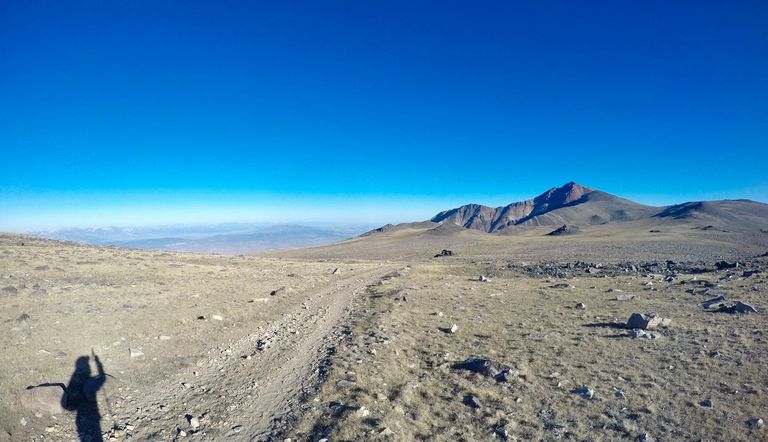
Looking across the valley to White Mountain peak
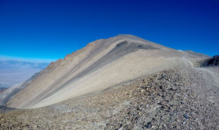
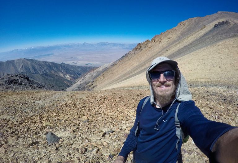
Starting the final climb up to the summit
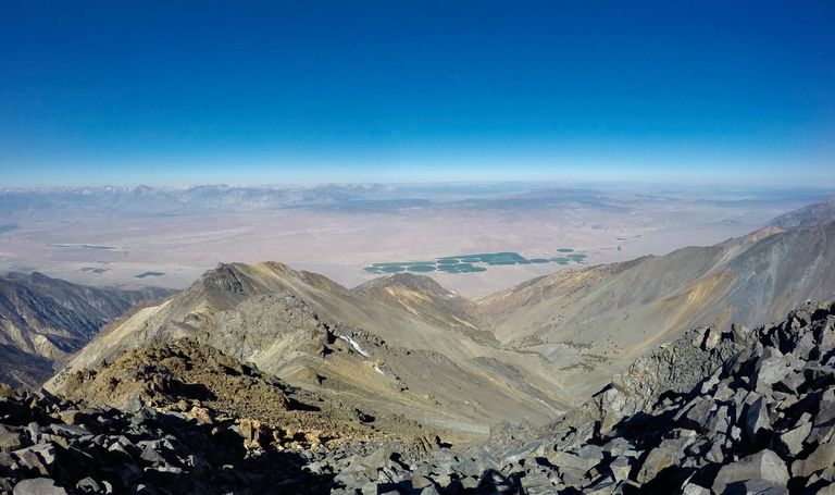
Views from the summit
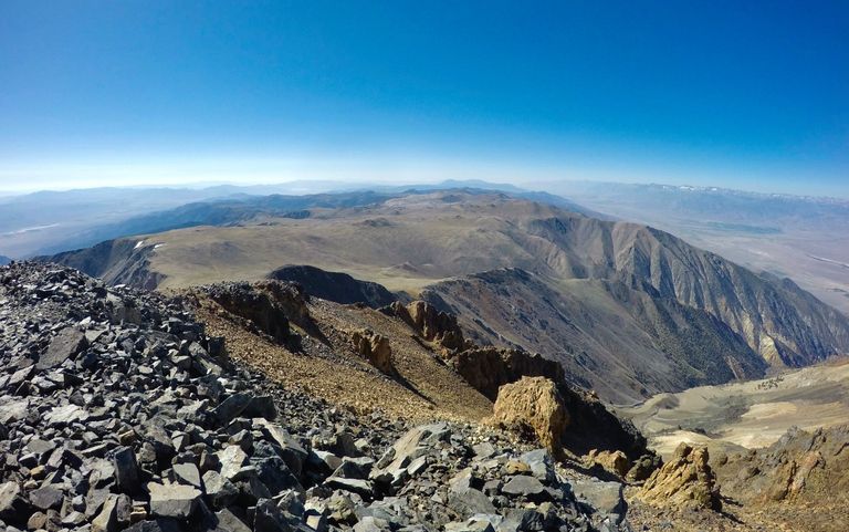
Views from the summit
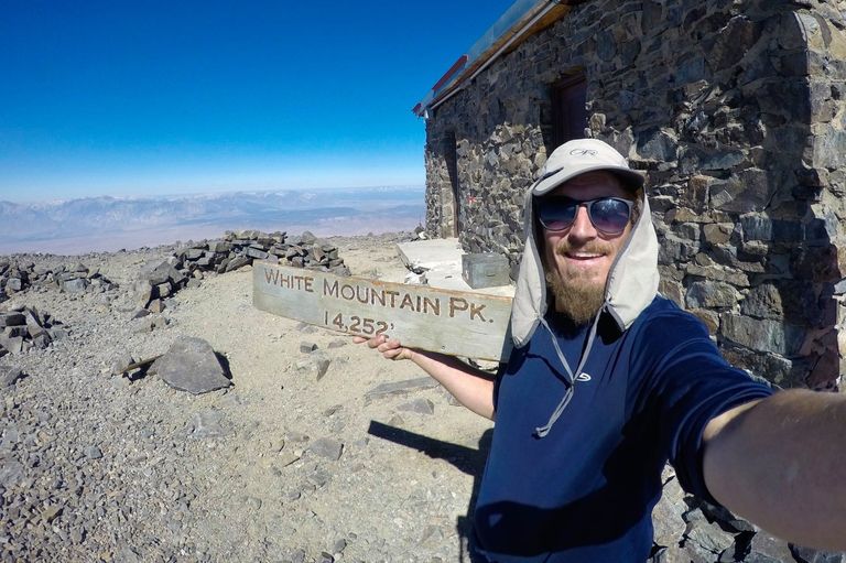
Selfie with the summit hut
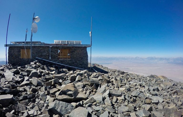
The summit hut
After enjoying the views and having a few snacks we started making our way down. I was moving quickly and there was still plenty of daylight left so when I got back to the east ridge of Mt. Barcroft I decided to make the short detour up the ridge to the 13,040' summit. I signed the peak register and enjoyed the views for a bit and then headed down the south side meeting back with the trail below the research station. From there it was only a mile or so back to the trailhead where we spent one more night before heading home.
Selfie on the way down
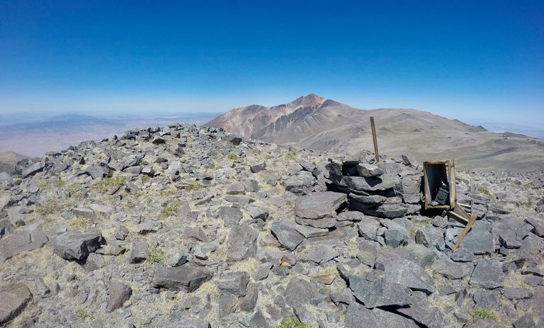
The top of Mt. Barcroft
Arriving back at the trailhead
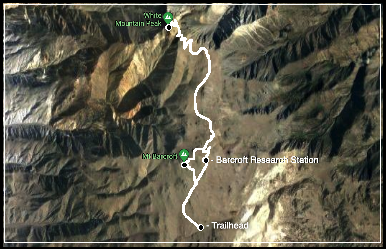
Map (click to enlarge)
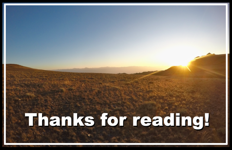
Until next time...
I hope you have enjoyed this glimpse into
My California!!
Contact me on Discord
Keep up the excellent work and feel free to use #blurtravel tag as one of your first five tags to let us know about your travel story.
You might want to check out the Introduction post of BlurtTravel where you'll find some rules/guidelines to follow for future curation.
Thank you.