
We started from Humber park and headed up the Devils Slide trail over Saddle Junction and into Tahquitz valley. We hiked through Tahquitz meadow and over to Little Tahquitz meadow where we found a great spot to setup our camp. After camp was all set we relaxed for a bit and then made the climb up to Red Tahquitz peak(8,738') which is one of my absolute favorite peaks! The views are awesome. Tahquitz valley and San Jacinto to the north, the Desert Divide to the south, the huge drop down to Palm Springs and Coachella valley to the east, and the rugged Tahquitz ridge reaching west out to Tahquitz peak. After enjoying our time on the peak we headed back down to our camp at Little Tahquitz meadow where we enjoyed a beautiful night in the mountains.
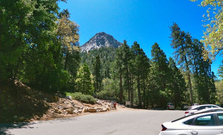
Humber Park trailhead
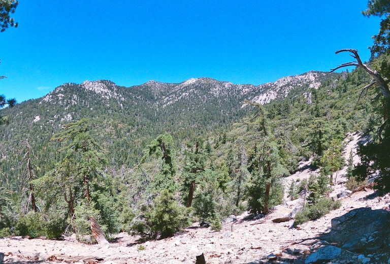
Hiking up the Devils Slide trail
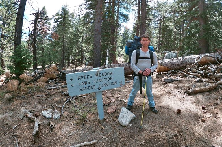
Trail junction in Tahquitz valley
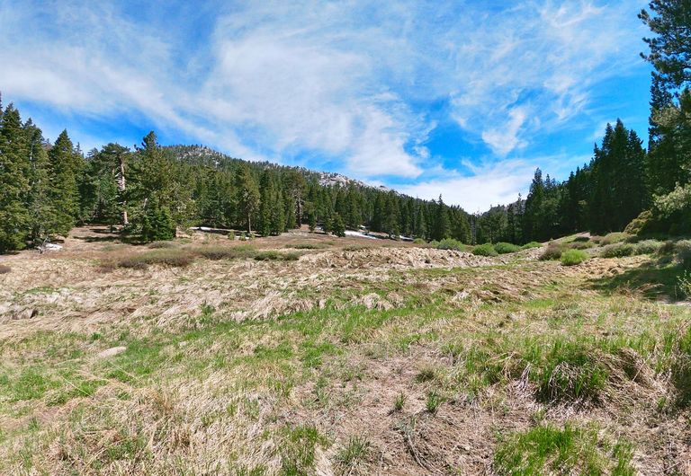
Little Tahquitz meadow
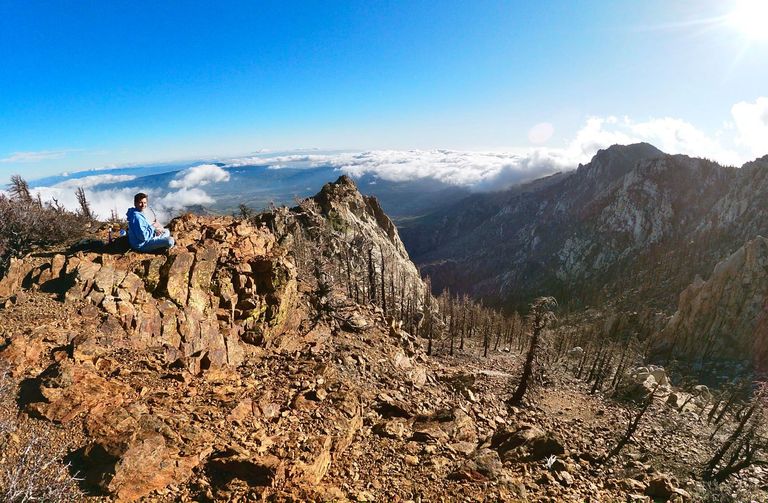
Chillin' on Red Tahquitz peak
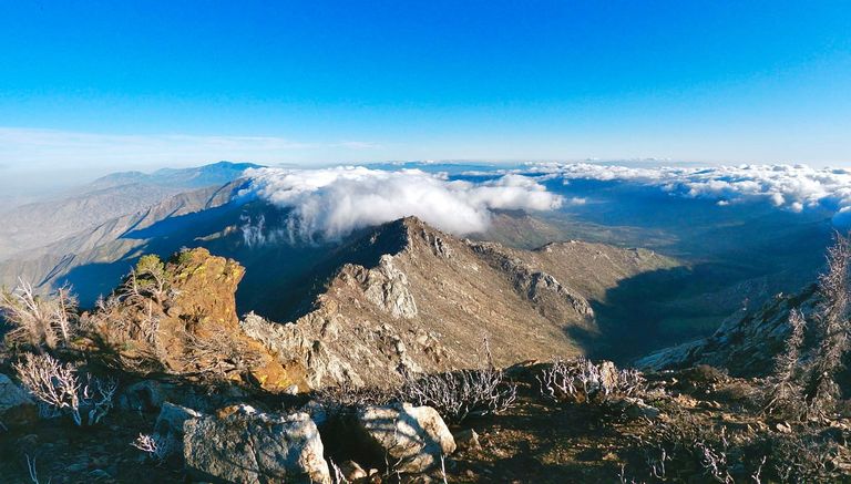
Views from Red Tahquitz peak
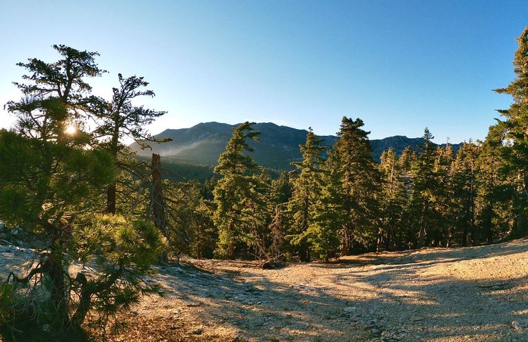
Descending back down into Tahquitz valley
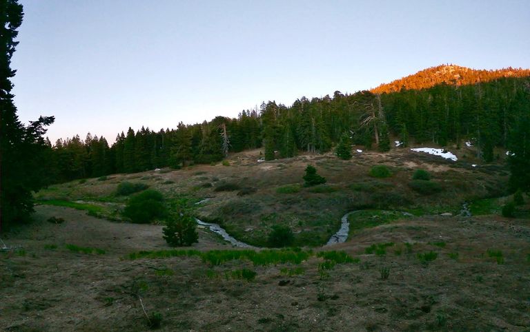
Evening at Little Tahquitz meadow
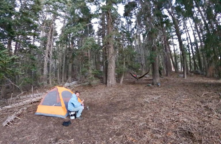
Back at camp
The next morning we packed up camp and started climbing up towards Tahquitz peak(8846'). We crossed Chinquapin flats and then made the final climb up the Tahquitz peak trail to the active fire lookout that sits on the summit. There wasn't a volunteer working the tower at the time so it was all closed up, but we still climbed up onto the deck and enjoyed the views for awhile before starting our descent from the peak. We headed down the South Ridge trail, and then about halfway down it we left the trail and made a shortcut. We descended steeply off the South Ridge through lots of fun obstacles eventually meeting up with the Ernie Maxwell trail which we followed for a couple miles back to the trailhead at Humber park.
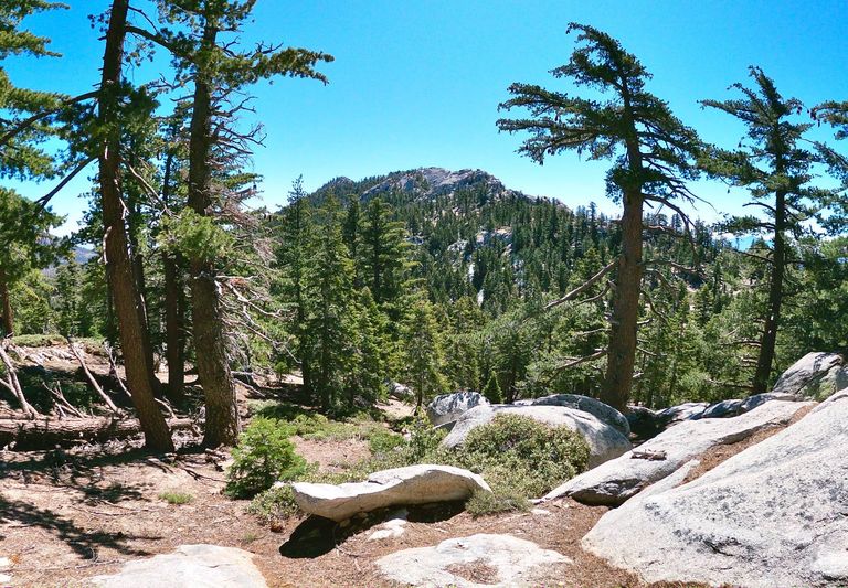
Climbing up out of Tahquitz valey
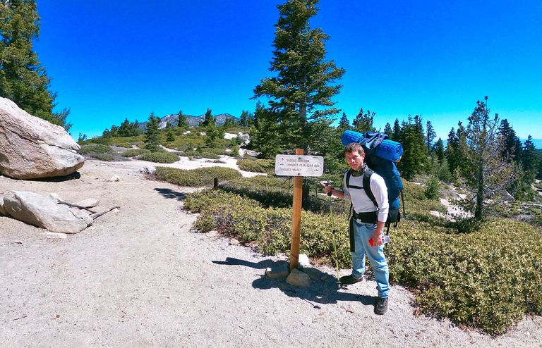
On Chinquapin flat
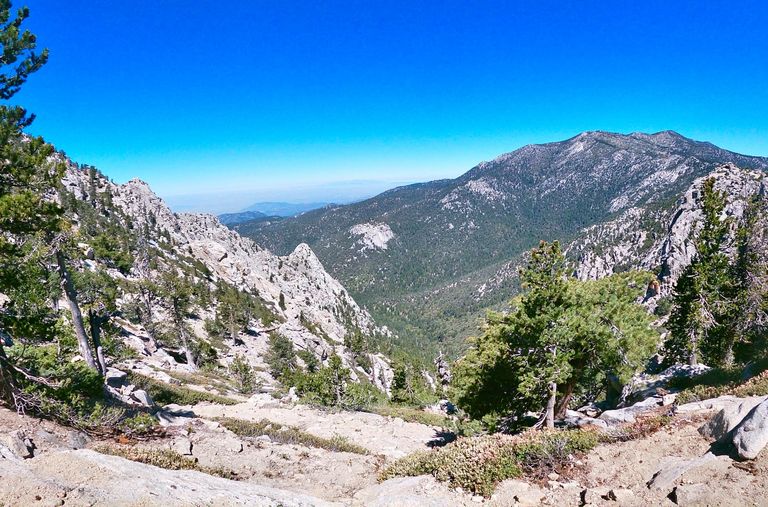
Views from the Tahquitz peak trail
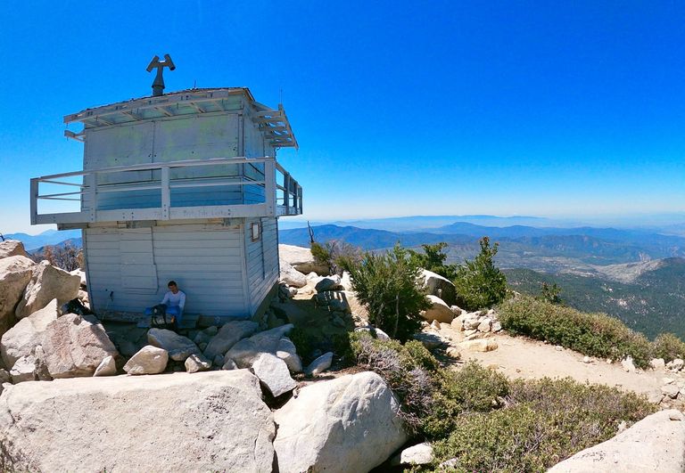
The Tahquitz peak fire lookout
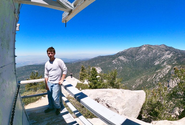
Larry standing on the deck of the fire lookout
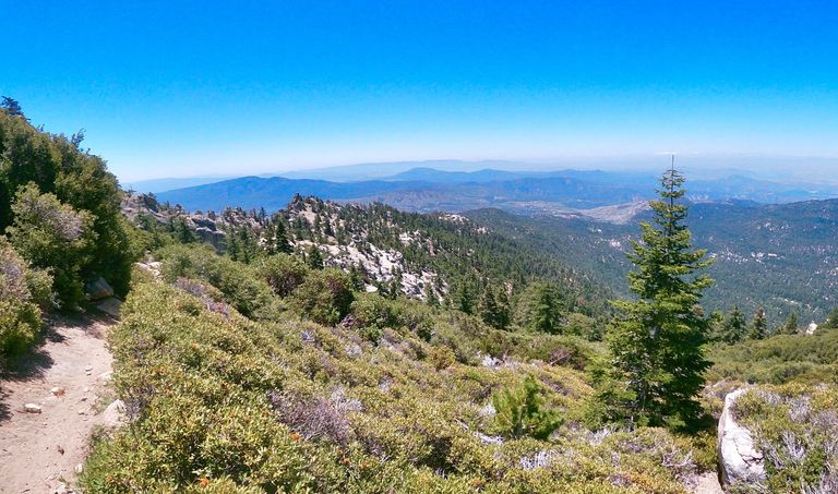
Descending the South Ridge trail
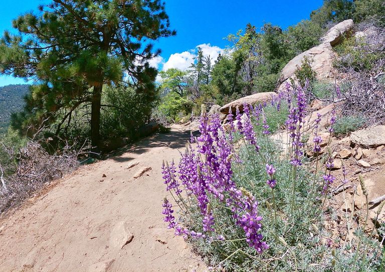
Blooming Lupin on the Earnie Maxwell trail
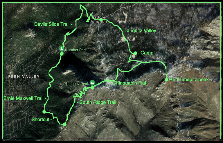
Map (Click to enlarge)
Until next time...
I hope you have enjoyed this glimpse into
My California!!

Contact me on Discord

Your post has been manually curated by @freevoter !! Keep sharing your quality content in Blurt Blockchain heart
FreeVoter is a curation program which aim to support quality content creator in Blurt Blockchain.You can support us by delegating your BP to @freevoter !! We are sharing 90% curation reward to our Delegators.Learn more about FreeVoter and join Discord server.