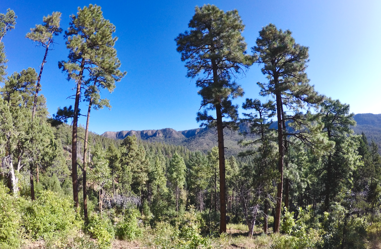
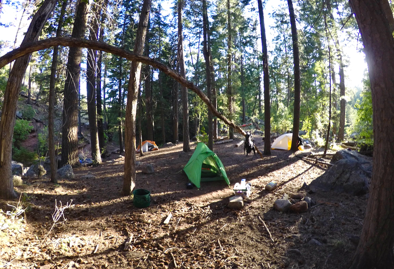
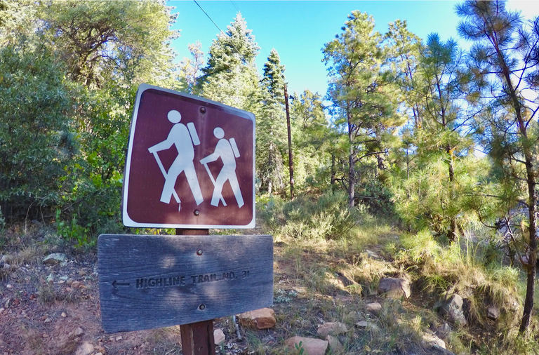
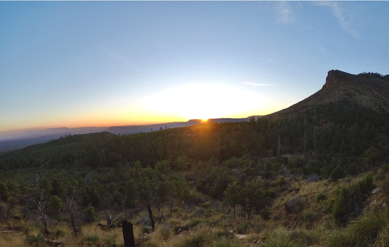
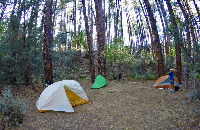
After our hike to Hells Gate my mom, her friend Ann, and I headed up on to the top of the Mogollon Rim. We checked out the campgrounds and found a spot to setup camp for the night. In the morning we got all our gear ready, tossed on our backpacks and hit the trail. We dropped off the top of the rim and descended down the Sinkhole trail for a few miles to where it met with the eastern end of The Highline National Recreation Trail, the trail we would be following for the next 50+ miles.

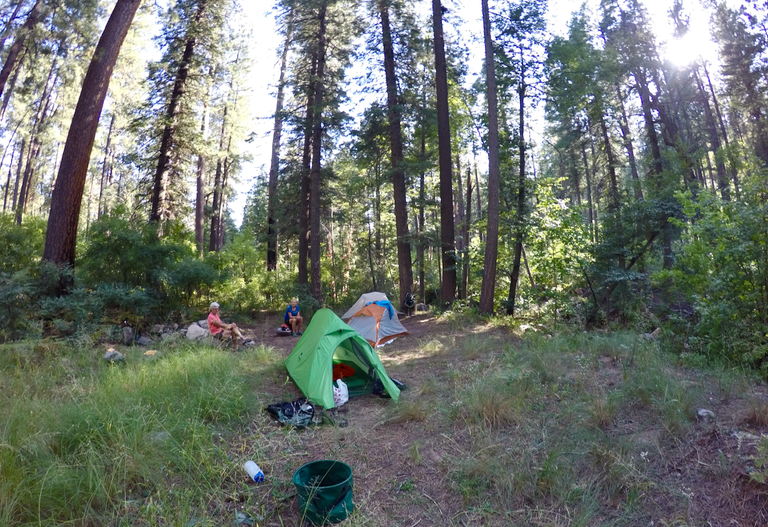
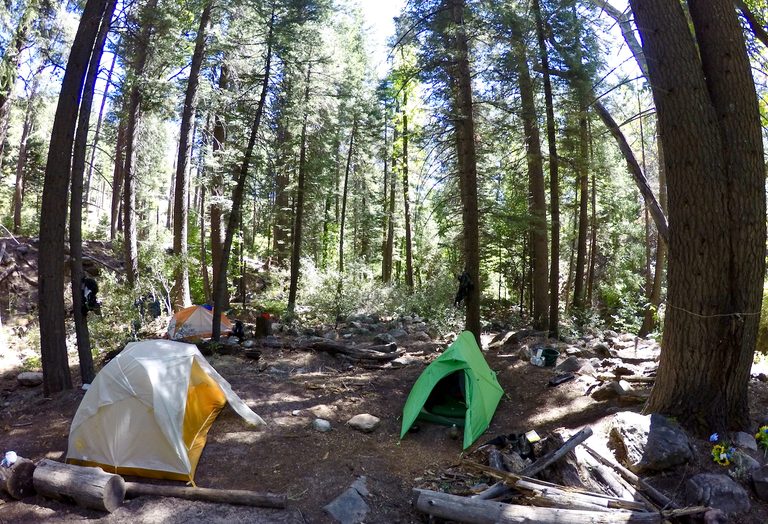
Camping on the Mogollon Rim

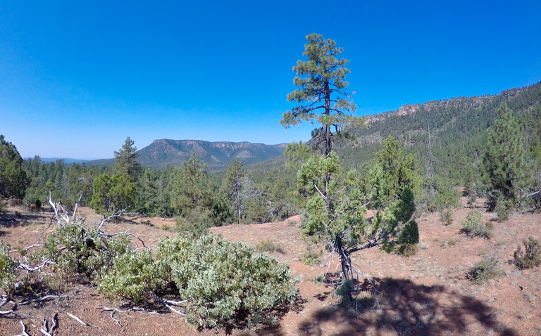
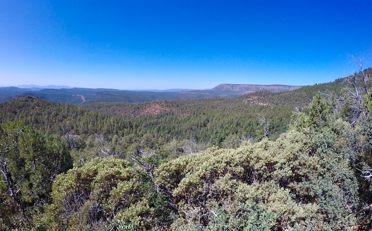
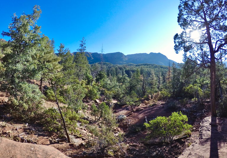
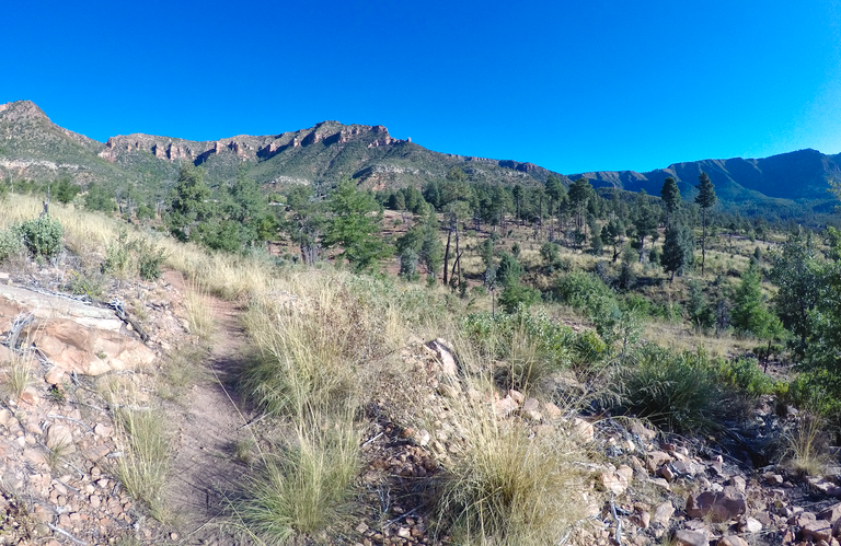
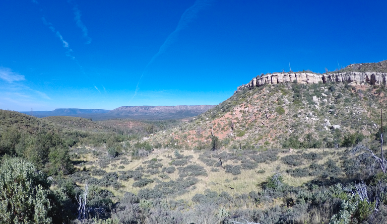
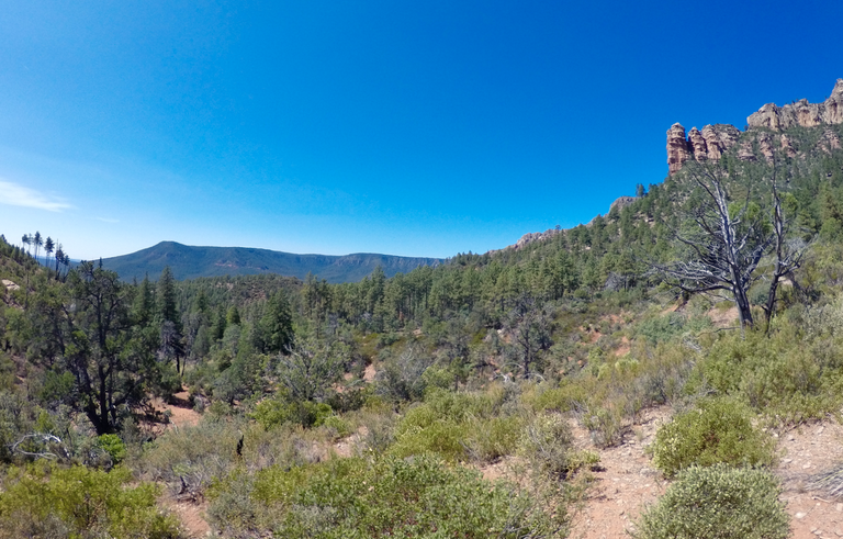
Views from the top of the Mogollon Rim
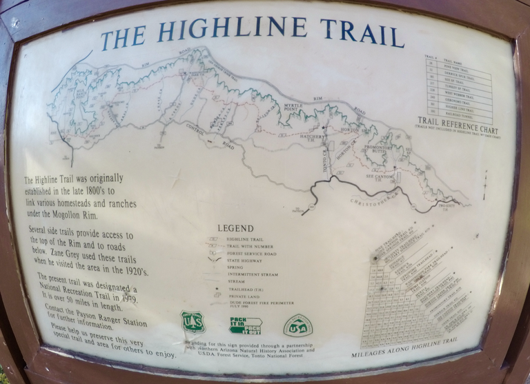
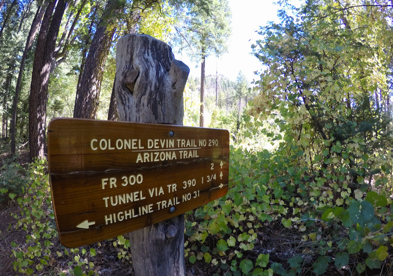
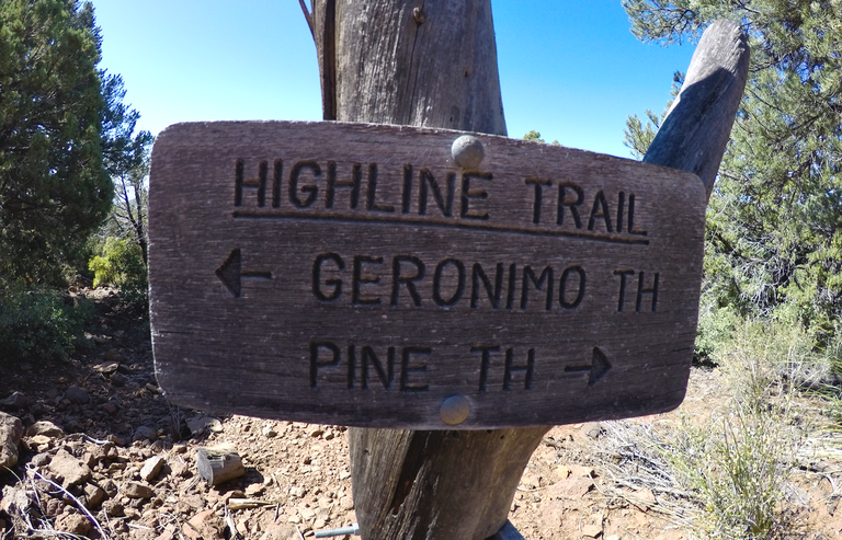
Trail sign for the Highline Trail
(You can see a better version of this map here)
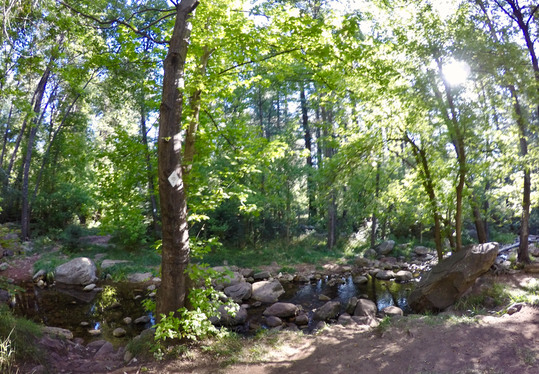
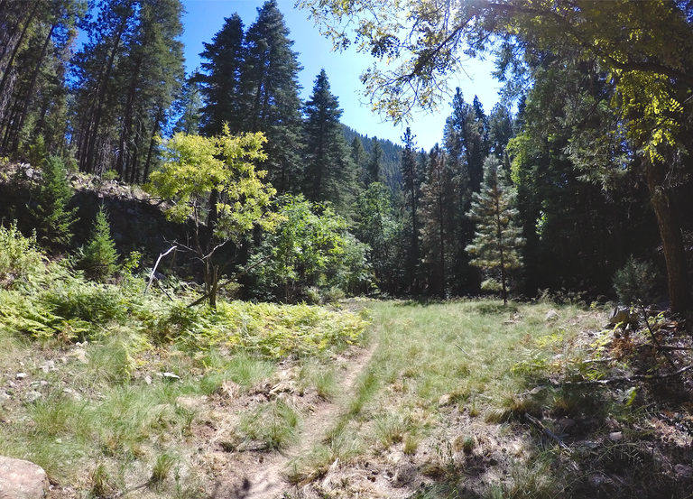
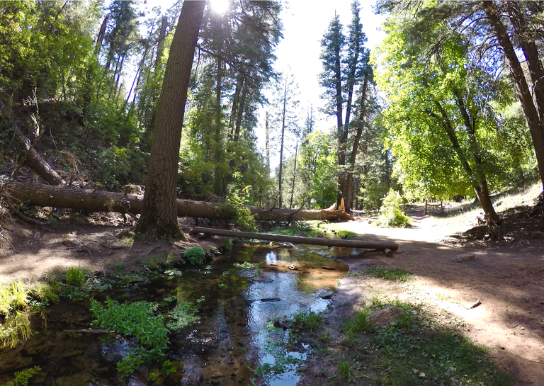
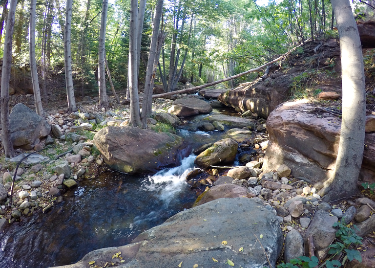
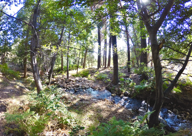
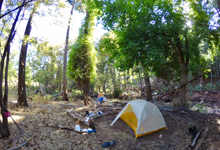
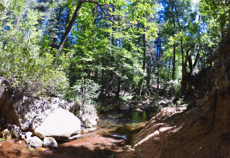
We made our way along the first section of the trail. The Highline trail follows along the base of the rim, but is still at a quite high elevation above the rest of the area and as it goes it passes through quite a wide variety of beautiful scenery. The first stretch was mostly forested, but it did open up occasionally to allow for some views. Eventually we passed the junction with the Drew trail and then dropped down into See canyon. We stopped and made our first camp of the trip there by Christopher creek, which was flowing good. It was a really beautiful area and we had a great camping spot.

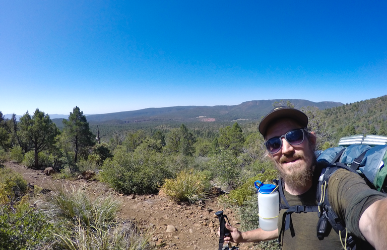
Selfie on the Highline trail

The junction with the Drew trail
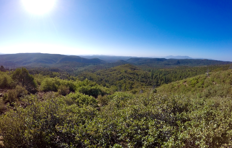
Views from the trail

Trail junction in See Canyon
Our first camp
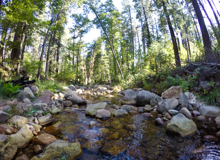
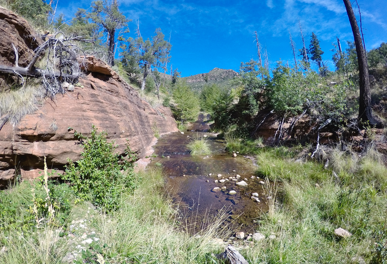
Christopher creek
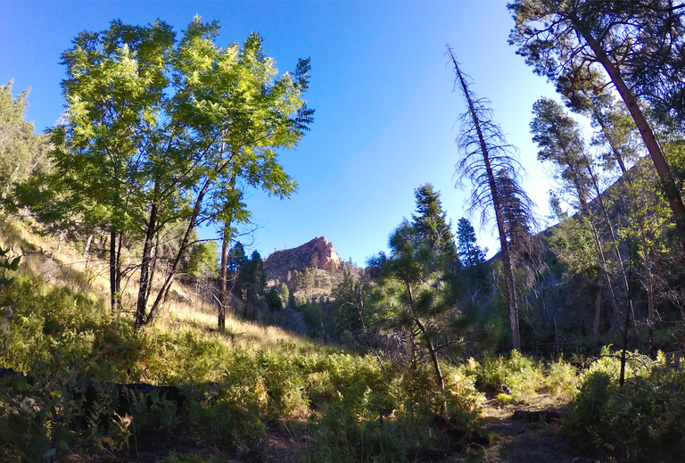
The next morning we packed up and left Christopher creek. We continued west along the trail climbing up and out of See canyon. All morning we were hearing the Elk mating calls, but unfortunately I didn't get to see any. I did get to see a deer though, and he was actually pretty close which was really cool. We also had some of the first of the sections of red sandstone formations which opened up the trail a bit and gave us more big views! We hiked all morning and eventually we made it to Horton springs, the headwaters of Horton creek. It was a really lovely area with huge trees and a beautiful creek and the spring itself was really cool. The water was just gushing straight out of a big hole in the rock! We stopped and had a nice lunch break by the creek and then continued on the trail. After another 4 miles or so we arrived at Tonto creek. We found a spot to setup our camp by the creek just below the fish hatchery. I was optimistic about finding some trout being so close to the hatchery so I pulled out the fishing pole and gave it a shot, but didn't have any luck. It's ok though, because honestly it was super nice just to just enjoy hanging out by the creek.
Morning at Christopher creek
Climbing out of See canyon
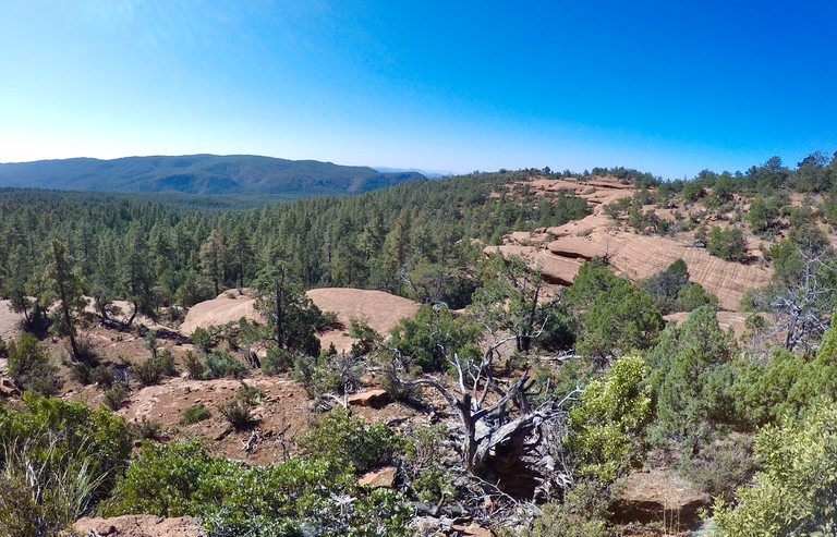
Red sandstone and big views
Views looking ahead at places to come
Small meadow along the trail
Horton Creek
Hiking through a big open meadow

Views overlooking Tonto creek
Tonto creek
Camp #2
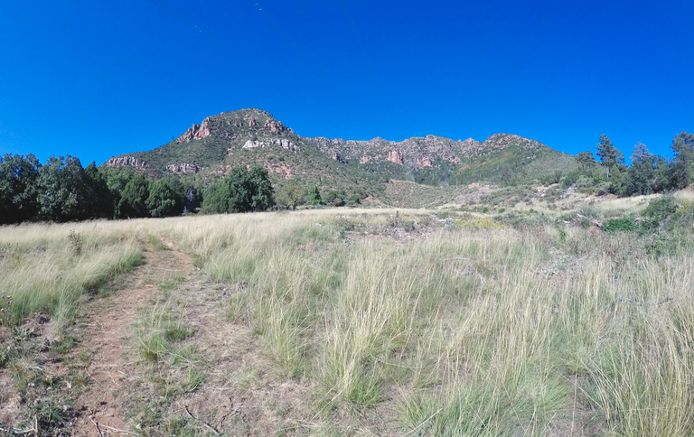
The next morning we packed up camp and hit the trail, climbing up and out of Tonto creek and continuing our traverse westward. Day 3 featured a bunch more red sandstone sections and lots of big views! We followed some fresh mountain lion tracks on the trail for several miles, but unfortunately(or maybe fortunately) we never got to see it. One of the challenges of this section was the lack of water and we weren't sure wether or not Bonita creek, where we planned to camp at, would be flowing or not. So prior to our hike my mom had drove out to where a dirt road met the trail and had stashed us each a couple jugs of water. As it turned out there was a little bit of flow in Ellison creek early in the day and then when we arrived at Bonita creek we found it was flowing strong! So we carried extra water for nothing. But better safe than sorry. Bonita creek was incredibly scenic and it was probably my favorite camp of the trip. Not only was the creek flowing good, the camping area was great, and to top it off there were ripe blackberries and some of the best wild grapes I've ever eaten! We relaxed around camp for awhile snacking on grapes and then I climbed up on the hillside above camp to enjoy an awesome sunset before heading into the tent for the night.
Hitting the trail in the morning
Climbing out of Tonto creek
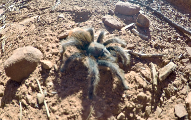
Tarantula on the trail
Views of the Rim
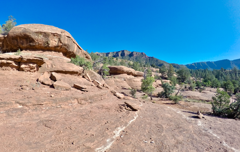
Hiking on the red sandstone

Views for miles
Hiking to Bonita creek

Meadows around Bonita creek
Bonita creek
Camp #3

Wild grapes
Sunset
The next morning we left Bonita creek and continued along the trail. Day 4 brought more amazing scenery. I thought Dude creek was especially pretty with the combination of red sandstone formations and the lush green surroundings of the creek. Eventually we arrived at the area known as Washington Park where the trail intersects with the East Verde River. We found a really nice spot by the river and setup our camp. It was still fairly early in the day so I had plenty of time to explore around and have some fun fishing in the river. Then we just kicked back and enjoyed another lovely evening in the wild.
Leaving Bonita creek

Looking back towards Bonita creek

Wide open views
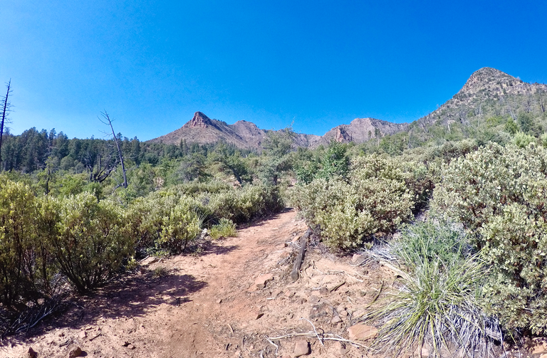
Following the rim westward
Dude Creek

Overlooking Washington Park
Trail junction at Washington Park
East Verde River
Camp #4

Trail bridge across the East Verde River
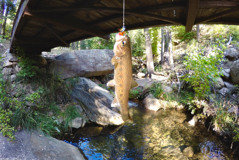
Catching a Trout under the bridge
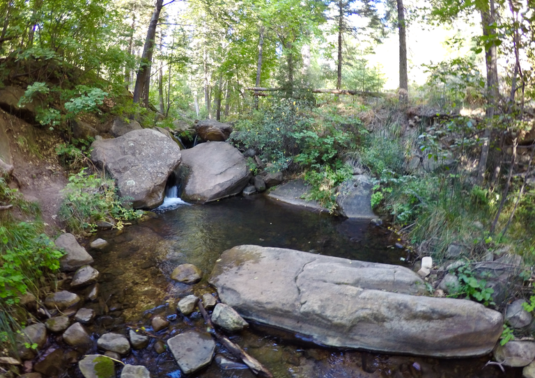
East Verde River
On day 5 we got up, packed up, and headed out from Washington Park. The trail climbed up and away from East Verde River continuing to traverse below the rim westward. With beautiful forests, epic Rim scenery, and more huge views out over the valley I think day 5 just might have been the nicest section of the trip. Bray creek springs provided a nice spot to fill up on some delicious spring water, although the way it was flowing was quite odd. Eventually we arrived at Webber creek where we found a spot to setup our final camp of the trip. The creek was extremely low, and was actually hardly flowing at all. But there was enough for us to filter some water which was all we really needed. So obviously I couldn't do any fishing, but I did a bit of exploring and I found more wild blackberries and wild grapes for us to snack on! Once again we had a really nice spot to camp and we thoroughly enjoyed it for our final evening.

Forested Rim scenery
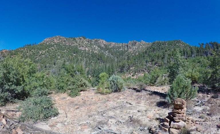
Views of the Mogollon Rim

Arriving at Bray Creek springs
Views from the trail

Some big Mogollon Rim views

Webber creek
Our final camp of the trip
Day 6... our last day of the trip. We packed up and left Webber creek. The morning was all uphill. Climbing up and up until we got to Pine springs, which unfortunately was not flowing, but luckily I carried plenty of water from Webber creek. Passed the spring it was a long downhill descent with awesome views overlooking Pine, AZ where we eventually arrived at our final destination, the Pine trailhead and the western end of the Highline National Recreation Trail!!

Climbing up above Webber creek
More huge views from the Highline trail
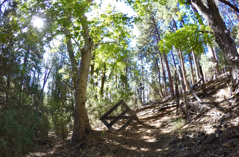
Old gate near Pine spring
Trail sign
Selfie overlooking Pine

Pine trailhead and western terminus of the Highline trail
Until the next adventure...
I hope you can all get outside and enjoy some...
Amazing Nature!!

all photos by @derekrichardson
https://www.californiamountainadventure.com
Amazing Nature!!