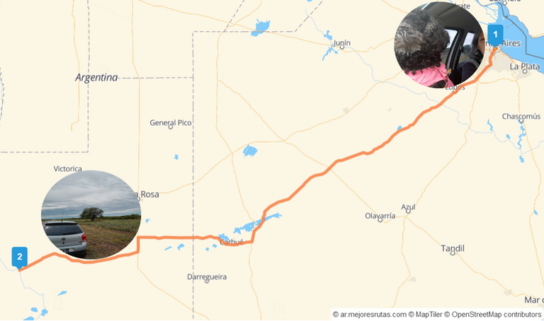
Something like the dream of a lifetime for those of us who love to travel. Travelling 5,000 kms (round trip) is a journey you don't make every day.
We travelled on our own, we planned the trip in advance and it took us two weeks to cover the whole itinerary.
I am speaking in plural because doing this trip alone would be too hard. The members of the team are my wife, the ideal mobile navigator and Google Maps always at hand, the third member of the family Zezé our toy poodle (for those who don't know this breed it is the smallest of the poodles) and the one who writes the article and drives most of the time.
We are about to leave the city behind in the early hours of dawn, which like us is also beginning to wake up, in search of adventure on a journey that will reach over 5,000 kms through the endless plains of the Pampa, the pampas in the province of the same name with its characteristic caldenal and finally the long-awaited Patagonia.
A Patagonia that will offer us all kinds of landscapes to admire. The hostile steppe at the beginning to pass abruptly to the marvellous nature of the enchanted lakes in the Andean region of the 7 Lakes.
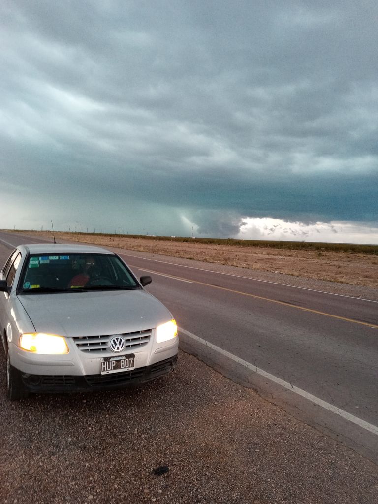
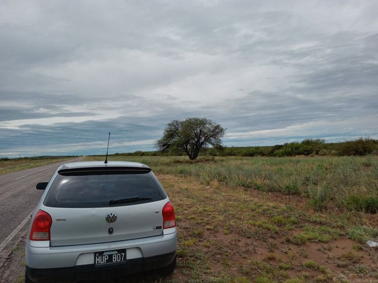
Here we go, with our faithful Gol, a paragon of endurance and reliability. We will cover almost 900 kms in the first stage, we calculate to spend 12 hours of trip counting some stops to refuel and rest a few minutes.
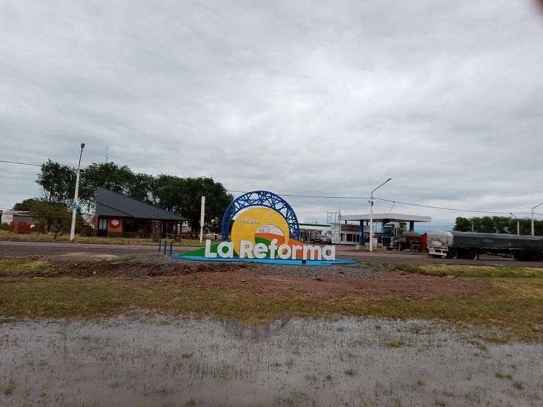
The first stage will be Buenos Aires - La Reforma (Province of La Pampa) almost on the border with the province of Rio Negro, gateway to the Argentinean Patagonia. Exactly 872,4 kms.
Let's go!
Algo así como el sueño de una vida para los que amamos viajar. Recorrer 5.000 kms (ida y vuelta) es un viaje que no se hace todos los días.
Viajamos por nuestra cuenta, planificxamos el viaje con anticipación y recorrer toda este itinerario nos llevó dos semanas.
Estoy hablando en plural porque hacer este viaje en solitaria sería demasiado duro. Los integrantes del equipo somos mi esposa, navegadora ideal celular y Google Maps siempre al alcance de la mano, el tercer integrante de la familia Zezé nuestra perrita caniche toy (para los que no conocen esta raza es el más pequeño de los caniches) y quien escribe el artículo y maneja la mayor parte del tiempo.
Estamos por dejar atrás la ciudad en las primeras horas del alba que también como nosotros comienza a despertarse, en busca de la aventura a través de un recorrido que llegará a superar los 5.000 kms a través de las interminables llanuras pampeanas, de las pampas en la provincia homónima con su característico caldenal y por fin la tan ansiada Patagonia.
Una Patagonia que nos ofrecerá paisajes de todo tipo para admirar. La estepa hostil al inicio para pasar abruptamente a la maravillosa naturaleza de los lagos encantados en la región andina de los 7 Lagos.
Ahí vamos, con nuestro fiel Gol, un dechado de resistencia y confiabilidad. Recorremos casi 900 kms en la primera etapa, calculamos emplear 12 horas de viaje contando algunas paradas para cargar carburante y descansar algunos minutos.
La primera etapa será será Buenos Aires - La Reforma (Provincia de La Pampa) casi en el límite con la provincia de Rio Negro, puerta de entrada a la Patagonia argentina. Exactamente 872,4 kms.
Partimos!
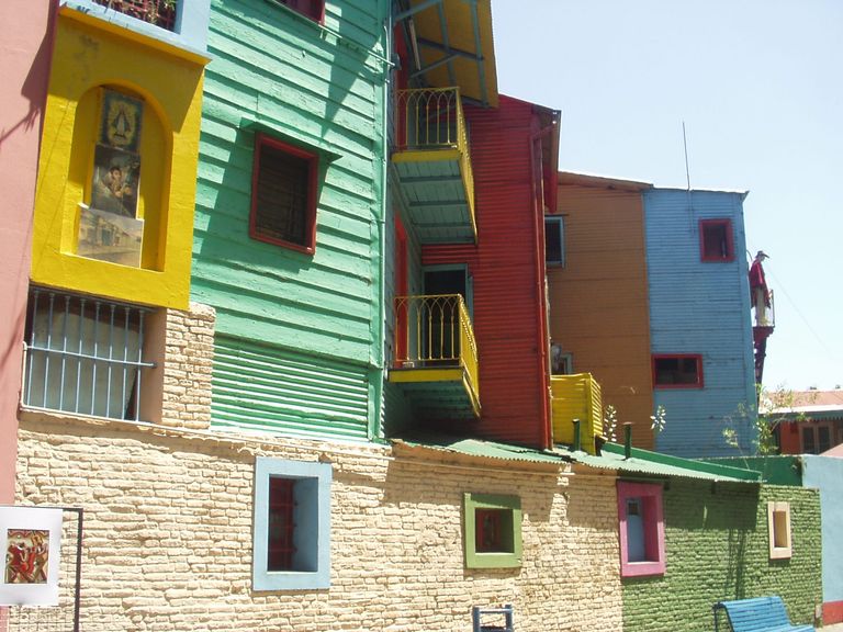
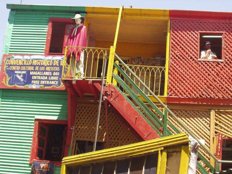
We cross the centre of Buenos Aires, La Boca with its multicoloured houses, the Riachuelo and take a last look at everyday images that we will not see again for two weeks. We are about to enter a world unknown to the big city dweller.
As soon as we leave the city we enter the countryside, two worlds so different that they are only a few kilometres apart. Huge extensions (to get an idea, the province of Buenos Aires is bigger than Italy and a little smaller than Spain) of a plain that stretches as far as the eye can see.
The crops are usually soya and maize alternating with sunflower, wheat and other cereals. And, in recent years, there has been a notable increase in livestock farming, favoured, according to specialists, by the good price of cattle and the opening of new international markets for Argentinean meat.
Huge silos for storing grain before it is taken to the ports for export or to the country's flour mills and oil mills for domestic consumption, flank the sides of the road at every kilometre we travel.
A landscape that repeats itself for 600 kms until we enter the province of La Pampa, a rather arid region until half a century ago, but which has changed a lot - its climate is more humid - in recent years as a consequence of the construction of hydroelectric dams in neighbouring provinces.
The first part we drive through is quite similar to the first part, with a slow and gradual decrease of crops and cattle as we move further west.
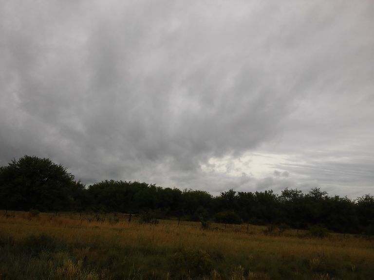
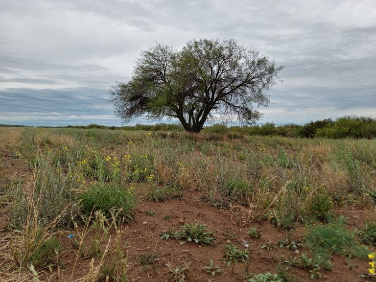
Little by little, the stunted calden trees, a protected plant species, begin to appear, the famous Caldenal that characterises La Pampa.
From the frenetic pace of the city to the endless plains of Buenos Aires. / Del ritmo frenético de la ciudad a la interminable llanura bonaerense.
Atravesamos el centro de Buenos Aires, la Boca con sus casas multicolores, el Riachuelo y miramos por última vez imágenes cotidianas que no vamos a volver a ver por dos semanas. Estamos por adentrarnos en un mundo desconocido al habitante de la gran ciudad.
Apenas dejamos la ciudad entramos en plena campaña, dos mundos tan distintos separados por pocos kilómetros. Enormes extensiones (para tener una idea la provincia de Buenos Aires es más grande de Italia y poco más chica que España) de una llanura que se extiende en el horizonte hasta donde alcanza nuestra vista.
Sembradíos por lo general de soja y maíz que se alternan con el girasol, el trigo y otros cereales. Y, en estos últimos años, un notable incremento de la ganadería, favorecido según los especialistas, por el buen precio que tiene el ganado y la apertura de nuevos mercados internacionales para las carnes argentinas.
Enormes silos destinados al almacenamiento de granos antes de ser llevados a los puertos para su exportación o a los molinos harineros y aceiteras del país para el consumo interno, flanquean los costados de la ruta a cada hilómetro que recorremos.
Un paisaje que se repite durante 600 kms hasta entrar en la provincia de La Pampa, una región bastante árida hasta hace medio siglo atrás pero que ha cambiado mucho -su clima es más húmedo- en los últimos años como consecuencia de la construcción de represas hidroeléctricas en las provincias vecinas.
La primera parte que recorremos es bastante parecida a la inicial con una lenta y gradual disminución de sembradís y ganados a medida que nos vamos alejando hacia el oeste.
Y de a poco comienzan a aparecer los montes achaparrados de caldenes, especie vegetal protegida, el famoso Caldenal que caracteriza La Pampa.
Between mountains of caldenes and the endless Ruta del Desierto (Desert Route) / Entre montes de caldenes y la interminable Ruta del Desierto
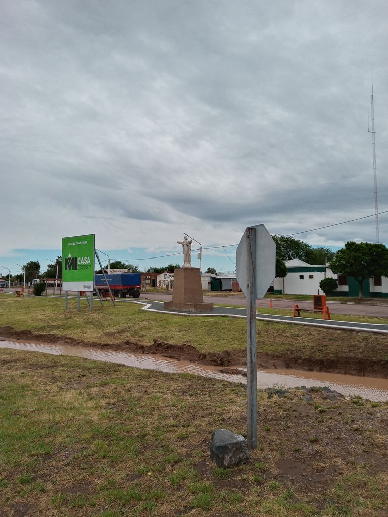
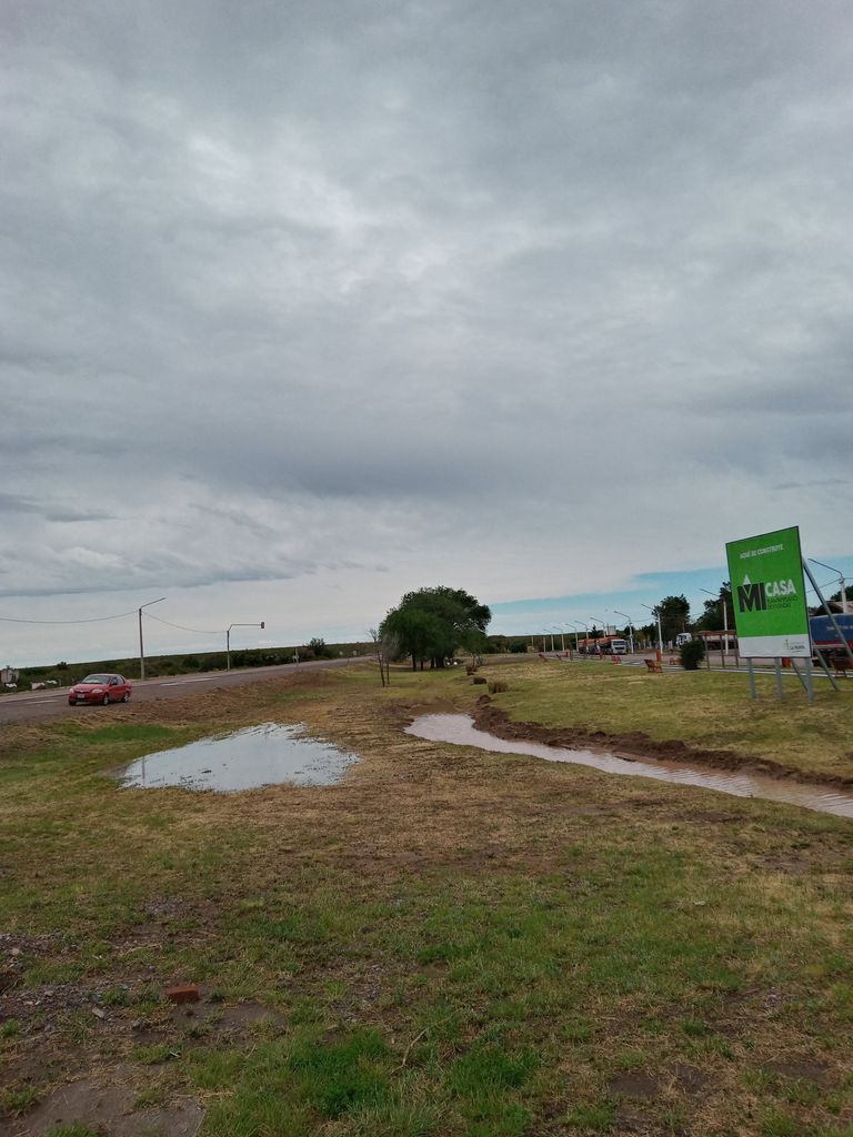
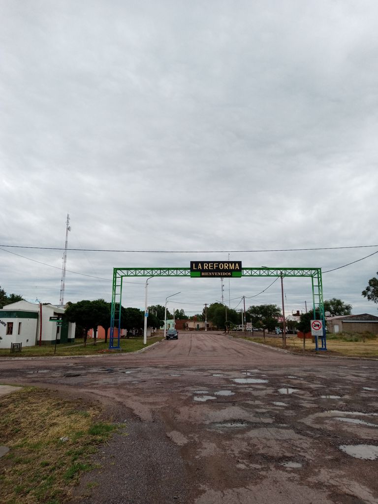
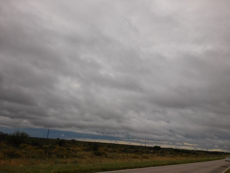
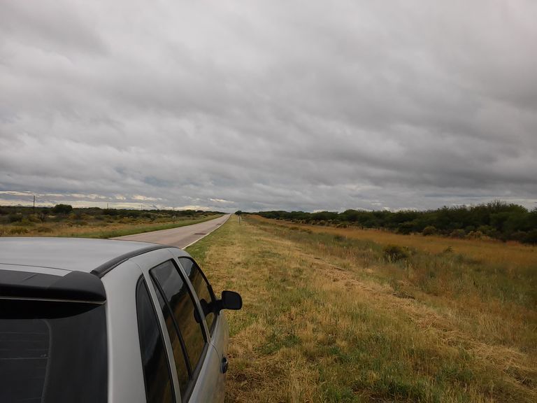
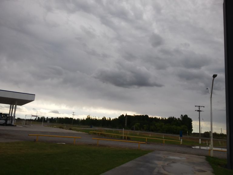
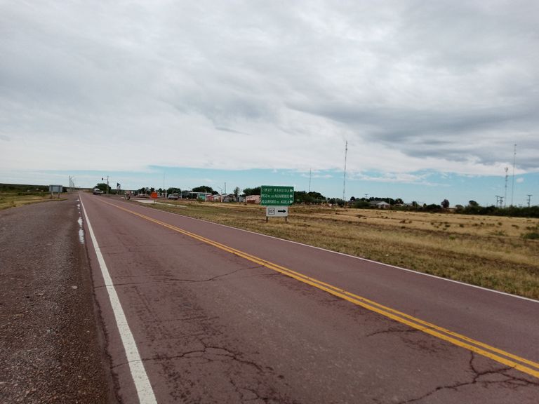
Suddenly, the panorama changes abruptly after passing through General Acha, and we climb the Ruta del Desierto, 380 kms of asphalted road with only three curves along the entire route and with only two towns along its entire length: Chacharramendi and La Reforma, a small town of no more than 300 inhabitants where we rented a cabin to spend the night.
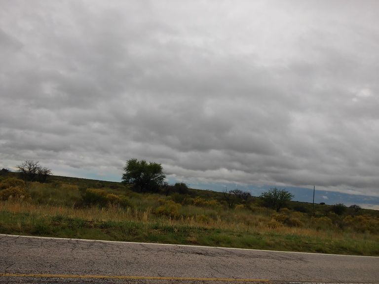
Travelling along this route (it is advisable to do it during the day) is a real challenge to concentration, as the monotony of the landscape (a kind of plain with steppe vegetation) is endless and leads to inattentions that often turn into fatal accidents.
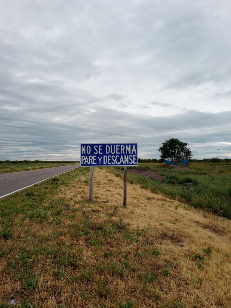
Along the way, numerous National Road signs warn us about the convenience of resting and continuing our journey. Most of the accidents are caused by falling asleep or having a sudden sleepy spell while driving at high speed.
The calden trees and the Provincial Route N. 20 (called Route of the Desert) because it was the one that the ancient Araucanian Indians used to cross to Chile through the Andes Mountain Range in a true semi-desert, are the only protagonists of this part of the trip.
De repente el panorama cambia bruscamente luego de pasar por General Acha y subimos a la Ruta del Desierto, 380 kms de ruta asfaltada con solo tres curvas a lo largo de todo el recorrido y con solo dos poblaciones a lo largo de todo su recorrido: Chacharramendi y La Reforma, un pequeño pueblo de no más de 300 habitantes donde alquilamos una cabaña para pasar la noche.
Transitar por esta ruta (aconsejable hacerlo de día) es todo un desafío a la concentración ya que la monotonía del paisaje (una especie de llanura con vegetación esteparia) interminable lleva a cometer desatenciones que con inusitada frecuencia se transforman en accidentes fatalaes.
A lo largo de su recorrido numerosos carteles de Vialidad Nacional nos advierten sobre la conveniencia de descansar y seguir viaje. La mayor parte de los accidentes ocuure por dormirse o tener un golpe improviso de sueño mientras se conduce a alta velocidad.
Los caldenes y la Ruta Provincial N. 20 (llamada Ruta del Desierto) porque era la que atravesaban los antiguos indios araucanos para pasar a Chile a través de la Cordillera de los Andes en un verdadero semi-desierto, son los únicos protagonistas de este tramo del viaje.
Image Gallery. / Galería de Imágenes.
Sorry for the late reply, I hadn't seen your comment.
Thank you as always for supporting my content @epistem.