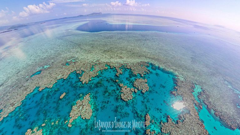
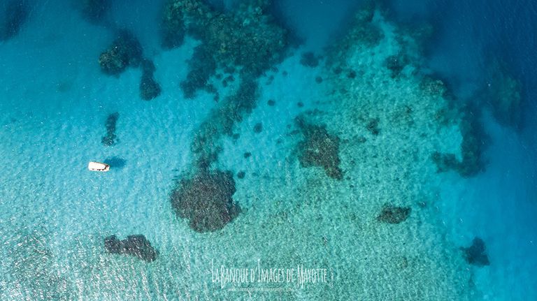
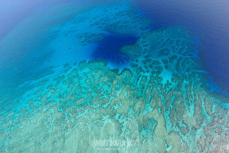
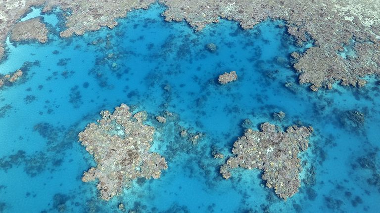
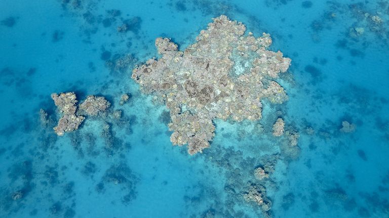
| Vu du ciel le lagon de Mayotte dévoile sa cartographie et donne les réponses à de nombeuses questions. Les effets de la houle, les natures des pentes internes et externes, les particularités géologiques, le sens du courant, toutes ces questions trouvent en altitudes les réponses à leurs problèmes en surface. |
Seen from the sky, the lagoon of Mayotte reveals its cartography and gives answers to many questions. The effects of the swell, the nature of the internal and external slopes, the geological peculiarities, the direction of the current, all these questions find in altitudes the answers to their problems on the surface. |
