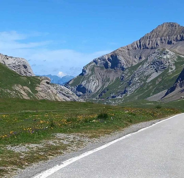
Scorci unici e panorami alpini si potranno godere tra Tirolo e Alto Adige, seguendo le orme dei venditori.
In passato, i contrabbandieri utilizzavano percorsi nascosti e non custoditi attraverso le Alpi per portare merci come tabacco, alcol, caffè e zucchero, nonché bestiame, scappando così dalla loro cultura. Oggi alcune delle strade pericolose di allora possono essere percorse come sentieri. Uno di questi è il Sentiero dei contrabbandieri della Valle Aurina, una pista ciclabile di 80 chilometri con diversi percorsi giornalieri che iniziano e finiscono a Mayrhofen e Zillertal attraverso due Alpi. attraversare la vicina Valle Aurina in Alto Adige e ritorno. Ai turisti verranno offerte alte montagne di vegetazione verde, limpidi laghi di montagna e ghiacciai.
Unique sights and alpine vistas will be enjoyed between Tyrol and South Tyrol, following in the footsteps of the sellers.
In the past, smugglers used hidden and unguarded routes through the Alps to bring goods such as tobacco, alcohol, coffee and sugar, as well as livestock, thus escaping their culture. Today some of the dangerous routes of that time can be traveled as trails. One of these is the Ahrntal Smugglers' Trail, an 80-kilometer bike path with several daily routes that begin and end in Mayrhofen and Zillertal across two Alps. cross the nearby Ahrntal Valley into South Tyrol and back. Tourists will be offered high mountains of green vegetation, clear mountain lakes and glaciers
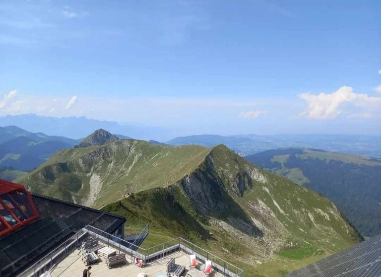
Anche il tour Samnaun Smugglers nella valle di Paznaun è fantastico. Il percorso porta da Ischgl alla zona di sdoganamento di Samnaun, nella regione svizzera. Dato che in Svizzera l'alcol e le sigarette costano meno, la merce viene importata dalla Svizzera all'Austria. Oggi il tour a tema non è solo un'esperienza grazie alle bellissime montagne, ma anche il doppio volo in gondola a Samnaun rende la visita speciale.
The Samnaun Smugglers tour in the Paznaun Valley is also fantastic. The route leads from Ischgl to the Samnaun customs clearance area in the Swiss region. Since alcohol and cigarettes are cheaper in Switzerland, the goods are imported from Switzerland to Austria. Today the themed tour is not only an experience because of the beautiful mountains, but also the double gondola flight in Samnaun makes the visit special.
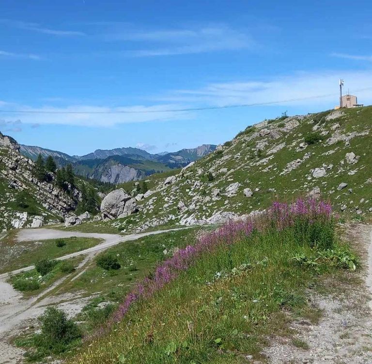
Uno dei panorami più belli che si possono ammirare dalla cima delle Dolomiti, vediamo quello offerto dalla cima del Piz da Peres, raggiungibile tramite ferrata. Le pareti delle Dolomiti diventano un invito a scalare e toccare con mano questa bellezza, dichiarata Patrimonio dell'UNESCO, nel senso migliore del termine. La via ferrata panoramica al "Piz da Peres", inaugurata nell'estate 2022, è una sfida per scalare la montagna con entrambe le mani e con i piedi. L'accesso dal Passo Furcia, sopra San Vigilio di Marebbe, è costituito da tre interessanti tratti con livello di difficoltà C/D (medio/difficile). Salendo la ferrata ci si ritrova in una posizione unica per ammirare le Dolomiti, le Alpi della Zillertal e le Vedrette di Ries.
One of the most beautiful views that can be admired from the top of the Dolomites, we see that offered by the summit of Piz da Peres, which can be reached by ferrata. The walls of the Dolomites become an invitation to climb and touch this beauty, declared a UNESCO World Heritage Site, in the best sense of the word. The panoramic via ferrata at “Piz da Peres,” opened in summer 2022, is a challenge to climb the mountain with both hands and feet. The access from Passo Furcia, above San Vigilio di Marebbe, consists of three interesting sections with difficulty level C/D (medium/difficult). Climbing the ferrata puts you in a unique position to admire the Dolomites, the Zillertal Alps and the Vedrette di Ries.
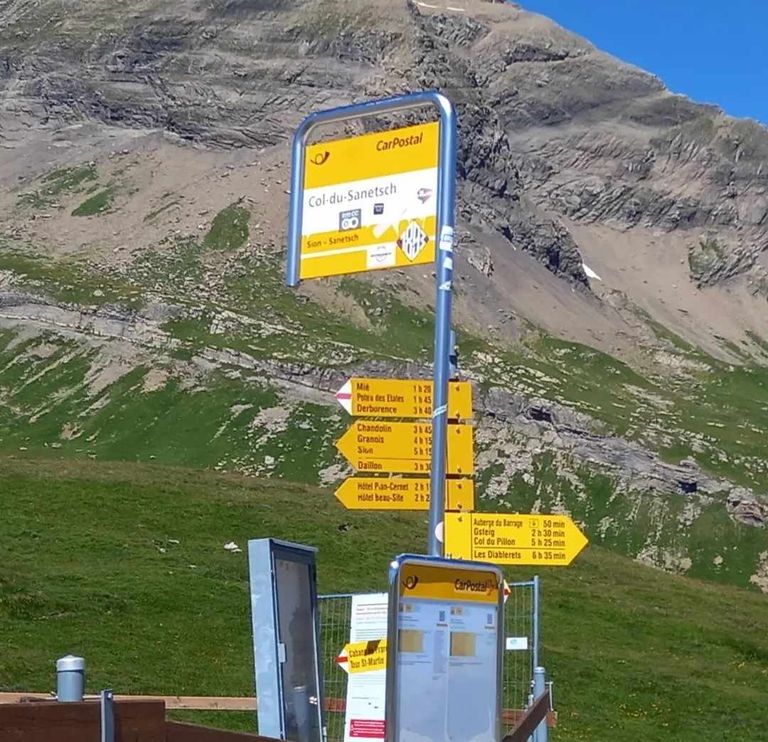
(Per i principianti è consigliabile seguire le guide alpine). Su queste pietre magiche ti senti felice e sorridente. Il paesaggio che si apre man mano che si sale è spettacolare e ancora più spettacolare è il suo cambiamento ad ovest, chiamato in latino Enrosadira. La composizione chimica del doppio carbonato di calcio e magnesio delle Dolomiti assume il suo caratteristico colore rosso quando i raggi del sole, in determinati orari (alba e tramonto), colpiscono la roccia. Se di giorno le Dolomiti sono “azzurre”, grigie e grigie, all'alba e al tramonto si illuminano, regalando un'impressione diversa. Il comune di Marebbe, quindi San Vigilio, dall'uscita panoramica della ferrata, è spesso compreso nel Parco Naturale Fanes - Senes - Braies, che si estende su 25.453 ettari ed è, per superficie, dei due più grandi. Parco dell'Alto Adige. Un tour con vista da un ponte sospeso
(For beginners, it is advisable to follow the mountain guides). On these magical stones you feel happy and smiling. The landscape that opens up as you climb is spectacular and even more spectacular is its change to the west, called Enrosadira in Latin. The chemical composition of the Dolomites' double calcium-magnesium carbonate takes on its characteristic red color when the sun's rays, at certain times (sunrise and sunset), strike the rock. If during the day the Dolomites are “blue” and gray, they light up at sunrise and sunset, giving a different impression. The municipality of Marebbe, then San Vigilio, from the scenic exit of the ferrata, is often included in the Fanes - Senes - Braies Nature Park, which covers 25,453 hectares and is, by area, of the two largest. South Tyrol Park. A tour with a view from a suspension bridge
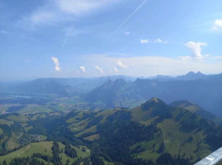
Chi vuole provare una scarica di adrenalina e allo stesso tempo immergersi in un paese da favola, sui pendii soleggiati della valle dello Stubai in Tirolo, può intraprendere una nuova escursione soleggiata sui percorsi Fulpmes e Neustift. La parte più interessante del percorso è il ponte sospeso lungo oltre 100 metri con vista su Neustift e sulla valle del ghiacciaio dello Stubai. Il sentiero lungo 7,5 km parte dal centro del centro escursionistico Schlick2000 a Fulpmes attraverso la nuova strada forestale fino alla trattoria Kartnall a Neustift. Grazie alle condizioni soleggiate e non troppo elevate, il Sunnenseite'n Weg è accessibile quasi tutto l'anno. Anche in Tirolo gli amanti dei ponti sospesi potranno avere il piacere di percorrere i 700 gradini del ponte sospeso sopra la bellissima (e panoramica) cascata Stuibenfall alta 159 metri vicino a Umhausen in Ötztal. È la cascata più grande del Tirolo, ben progettata e facilmente raggiungibile tramite sentiero. Un ponte sospeso lungo 80 metri permette di raggiungere (salendo 700 gradini) cinque punti di osservazione lungo le rapide che raggiungono il punto di partenza della cascata Niederthai. Nel Kufsteinerland escursioni panoramiche sul Kaiisergebirge
Those who want to experience an adrenaline rush and at the same time immerse themselves in a fairy-tale country on the sunny slopes of the Stubai Valley in Tyrol can embark on a new sunny hike on the Fulpmes and Neustift trails. The most interesting part of the trail is the over 100-meter-long suspension bridge with views of Neustift and the Stubai Glacier valley. The 7.5-kilometer-long trail starts from the center of the Schlick2000 hiking center in Fulpmes via the new forest road to the Kartnall Inn in Neustift. Thanks to the sunny and not-too-high conditions, the Sunnenseite'n Weg is accessible almost year-round. Also in Tirol, suspension bridge lovers will have the pleasure of walking the 700 steps of the suspension bridge over the beautiful (and scenic) 159-meter-high Stuibenfall waterfall near Umhausen in Ötztal. It is the largest waterfall in Tirol, well designed and easily accessible by trail. An 80-meter-long suspension bridge provides access (by climbing 700 steps) to five viewpoints along the rapids that reach the starting point of the Niederthai waterfall. In Kufsteinerland, scenic hikes on the Kaiisergebirge
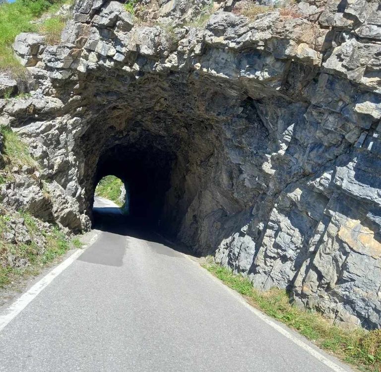
Uno dei percorsi panoramici più spettacolari del Kufsteinerland, in Tirolo, è quello del Kaiisergebirge, la catena montuosa dei monti Zahmer e Wilder Kaiser nelle Alpi Calcaree settentrionali. Buona geografia. Attraverso la piegatura e l'accatastamento di centinaia di chilometri di scaglie di grandi dimensioni, si crea un cumulo di circa 6 chilometri: è una zona di appassionati di geologia e di chi lo desidera.passi sorprendenti, alla scoperta di fiori e piante che crescono solo su terreni calcarei.
One of the most spectacular scenic routes in Kufsteinerland, Tyrol, is the Kaiisergebirge, the Zahmer and Wilder Kaiser mountain ranges in the northern Limestone Alps. Good geography. Through the folding and stacking of hundreds of kilometers of large flakes, a mound of about 6 kilometers is created.This is an area for geology enthusiasts and those who want it.Amazing steps, discovering flowers and plants that grow only on limestone soils.
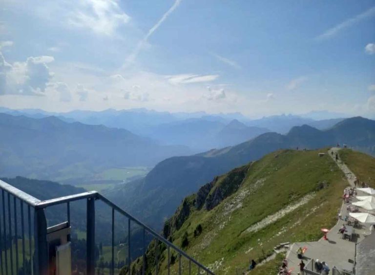
Dal Brentenjoch (termine della seggiovia) partono numerosi sentieri ben segnalati: tra i più frequentati ci sono quelli che portano al Gamskogel e allo Steinbergalmen, lungo la strada forestale. La cima del Gamskogel si raggiunge dopo circa 45 minuti: c'è un punto forte chiamato "Himmelschauen" (che in tedesco significa guardare il cielo). Dalla vicina croce si gode una bella vista sulla Kaisertal prima di proseguire fino alla malga Steinbergalm (altri 45 minuti), dove si può bere un bicchiere di latte fresco e fare una buona merenda. Il ritorno avviene lungo la strada forestale dal paese di Almdorf al punto di partenza.
From the Brentenjoch (end of the chairlift) many well-marked trails start: among the most popular are those leading to the Gamskogel and Steinbergalmen, along the forest road. The summit of the Gamskogel is reached after about 45 minutes: there is a high point called “Himmelschauen” (which in German means looking at the sky). From the nearby cross there is a nice view of the Kaisertal before continuing to the Steinbergalm (another 45 minutes), where you can have a glass of fresh milk and a good snack. The return is along the forest road from Almdorf village to the starting point.
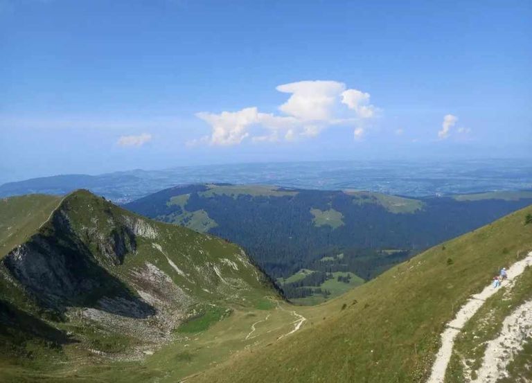
Per chi vuole trascorrere qualche giorno in quota e vivere la natura che lo circonda, può pernottare in uno dei rifugi alpini, che offrono anche una deliziosa colazione, spuntini deliziosi e una deliziosa cena dell'anno scorso. . Tra le specialità: pane, speck, latte, formaggi e yogurtCorno del Renon: la presentazione delle migliori montagne.
Il Renon è un vero paradiso per gli amanti dei viaggi e dell'immersione nella natura. L'area turistica del Renon conta più di 300 chilometri di sentieri, dai pendii e valli soleggiate fino alle vette più alte, con tour ed escursioni per tutti i gusti. Il Corno del Renon, che domina la pianura a 2.260 metri, è davvero il posto migliore per godere di un panorama a 360° sulle montagne più belle delle Alpi. Arrivarci è semplice: basta prendere la funivia (con partenza da Pemmern) fino a Cima Lago Nero (2.070 metri) in pochi minuti e da lì intraprendere il Panorama Premium tour, il percorso circolare di circa 8 che è emozionante. .
For those who want to spend a few days at high altitude and experience the nature around them, they can stay overnight in one of the mountain lodges, which also offer a delicious breakfast, delicious snacks, and a delicious dinner last year. . Among the specialties: bread, bacon, milk, cheese and yogurtRitten Horn: the presentation of the best mountains.
The Ritten is a true paradise for lovers of travel and immersion in nature. The Ritten tourist area has more than 300 kilometers of trails, from sunny slopes and valleys to the highest peaks, with tours and hikes for all tastes. The Rittner Horn, which dominates the plains at 2,260 meters, is truly the best place to enjoy a 360-degree panorama of the most beautiful mountains in the Alps. Getting there is simple: just take the cable car (departing from Pemmern) to Cima Lago Nero (2,070 meters) in a few minutes and from there take the Panorama Premium tour, the circular route of about 8 that is thrilling. .
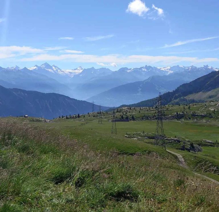
Accompagnati ovunque da scorci di indescrivibile bellezza, attraverso prati, boschi e luoghi panoramici, si cammina lentamente per riflettere sullo spettacolo naturale che allieta la vista e riscalda.
Ci fermeremo alla famosa "Tavola Rotonda", opera d'arte realizzata da Franz Messner e piattaforma di osservazione con incisi i nomi e i profili di tutte le vette che appaiono di fronte, dai giganti di ghiaccio dell'Ortles all'atterraggio del sole . . al mitico mondo delle Dolomiti a est, alle Alpi dello Stubai e alla Zillertal a nord, alla Presanella e all'Adamello a sud dove compaiono anche le Dolomiti di Brenta. E per un'indimenticabile sosta gourmet, il Feltuner Hütte propone i piatti tipici della tradizione altoatesina in una posizione appartata con vista su Bolzano dall'alto, in mezzo al verde e all'aria fresca.
Accompanied everywhere by glimpses of indescribable beauty, through meadows, forests and scenic spots, we will walk slowly to reflect on the natural spectacle that gladdens the view and warms.
We will stop at the famous “Round Table,” a work of art created by Franz Messner and an observation platform engraved with the names and profiles of all the peaks that appear before us, from the ice giants of Ortles to the landing of the sun . . to the mythical world of the Dolomites to the east, the Stubai and Zillertal Alps to the north, and Presanella and Adamello to the south, where the Brenta Dolomites also appear. And for an unforgettable gourmet stop, the Feltuner Hütte offers traditional South Tyrolean dishes in a secluded location with a view of Bolzano from above, amidst greenery and fresh air.
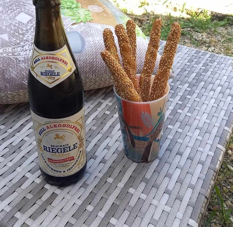
Bolzano in estate offre più di una "fuga" dal caldo cittadino, potendo vivere una vera e propria esperienza outdoor in montagna alla ricerca di una temperatura fresca per riprendersi e di panorami suggestivi che riempiono la fantasia e la mente. Con centinaia di chilometri di cammino che partono dalla città e raggiungono le colline circostanti, alla scoperta dell'erba verde che è deliziosa. Il movimento Guncina (nella foto), ad esempio, dedicato al suo fondatore l'arciduca Enrico d'Asburgo, il vento sul versante che dalla regione di Gries (fino al 1925 separata e famosa stazione termale dell'impero asburgico) porta a San. Genesio. La strada, che si snoda tra alberi verdi, magnolie, fichi d'india, cipressi e cedri, permette di raggiungere Castel Guncina: ogni albero che incontri ha il suo nome in italiano, tedesco in scienze. Il percorso - che quest'anno festeggia i 120 anni
Bolzano in summer offers more than an “escape” from the city heat, being able to enjoy a true outdoor experience in the mountains in search of cool temperatures to recover and picturesque views that fill the imagination and the mind. With hundreds of miles of walking starting from the city and reaching the surrounding hills, discovering green grass that is delicious. The Guncina movement (pictured), for example, dedicated to its founder Archduke Henry of Habsburg, winds up the slope from the Gries region (until 1925 a separate and famous spa of the Habsburg empire) to St. Genesien. The road, winding among green trees, magnolias, prickly pears, cypresses and cedars, leads to Guncina Castle: every tree you encounter has its name in Italian, German in science. The trail - which this year celebrates 120 years
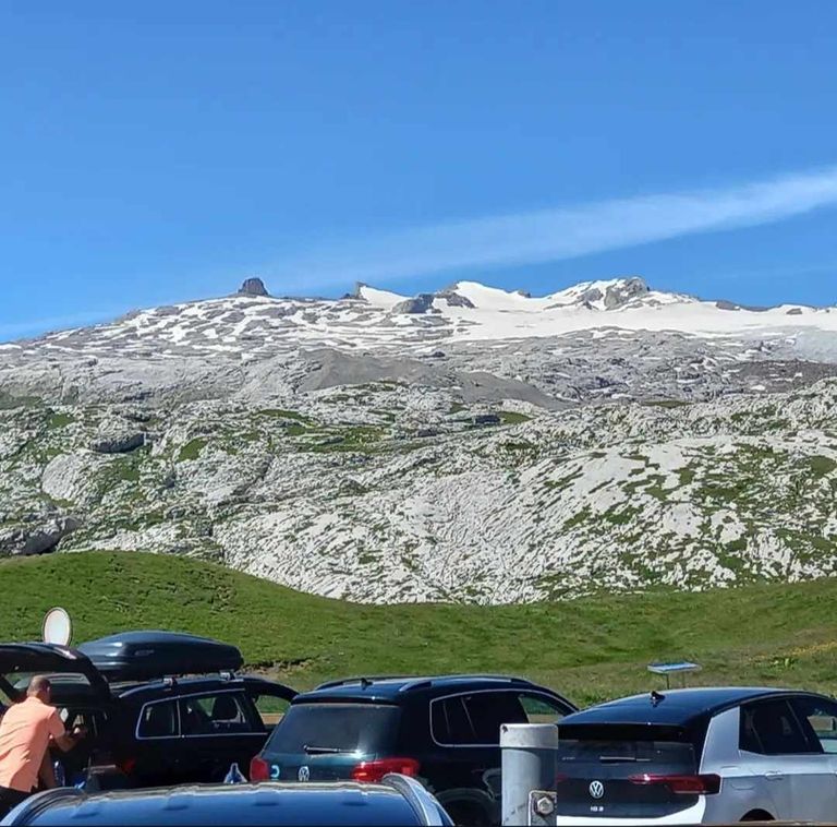
dall'inaugurazione del suo primo tratto - è un po' in discesa, per cui lungo il percorso ci sono numerose panchine dove riposarsi godendosi il panorama che mostra la conca di Bolzano e il gruppo dolomitico di quella . salire ad est. Non mancherà una visita a San Genesio, bellissimo e tranquillo paese a 1.100 metri di altitudine sull'Altopiano del Salto, il più grande lariceto d'Europa. Il panorama delle Dolomiti, della Valle dell'Adige, della Mendola e dell'Ortles accompagna ogni passo della manifestazione del Salto che mostra la sua bellezza in ogni periodo dell'anno. A San Genesio vi aspettano 300 giorni di sole e 300 km di escursioni e sentieri a tema - dal Sentiero delle Leggende al Sentiero "Guggn" del Salto, al Sentiero del Legnaiuolo ad Avigna, al Sentiero di San Martino a Cologna - che chiamano il anziani. e i bambini per vedere la natura nella sua interezza e scoprirne i segreti attraverso prati, boschi e splendidi panorami su Arabba e sulle Dolomiti.
Arabba e la cima delle Dolomiti sono avvolte da una calda ospitalità e sono luoghi ideali per chi ama il movimento, immerso nell'aria calma e pura della natura.
since the inauguration of its first section-is somewhat downhill, so there are numerous benches along the way where you can rest while enjoying the view that shows the Bolzano basin and the Dolomite group of that . rise to the east. Don't miss a visit to San Genesio, a beautiful and peaceful village at 1,100 meters above sea level on the Salten Plateau, the largest larch forest in Europe. The panorama of the Dolomites, Etsch Valley, Mendel and Ortler mountains accompanies every step of the Salten event, which shows its beauty all year round. In Jenesien, 300 days of sunshine and 300 kilometers of themed hikes and trails await you-from the Trail of Legends to the Salto “Guggn” Trail, to the Legnaiuolo Trail in Avigna, to the San Martino Trail in Cologna-that call the elderly. and children to see nature in its entirety and discover its secrets through meadows, forests and beautiful views of Arabba and the Dolomites.
Arabba and the top of the Dolomites are enveloped in warm hospitality and are ideal places for those who love movement, immersed in the calm and pure air of nature.