 Top view Via Ferrata Grenzbachtal at Hölderstein
Hello Blurt People and Hike Friends
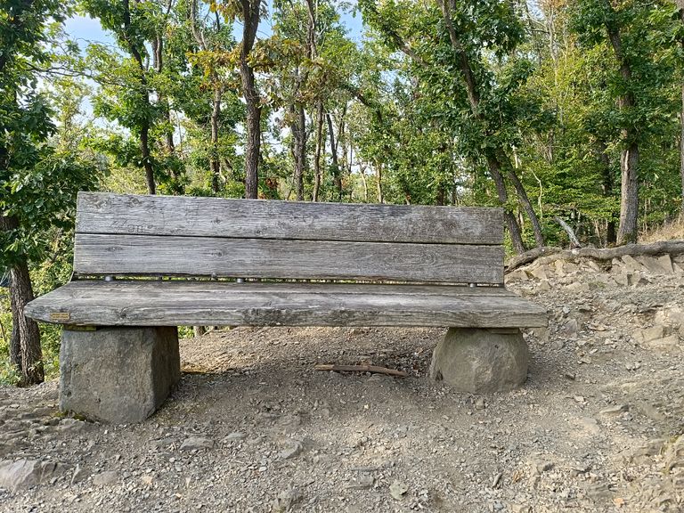
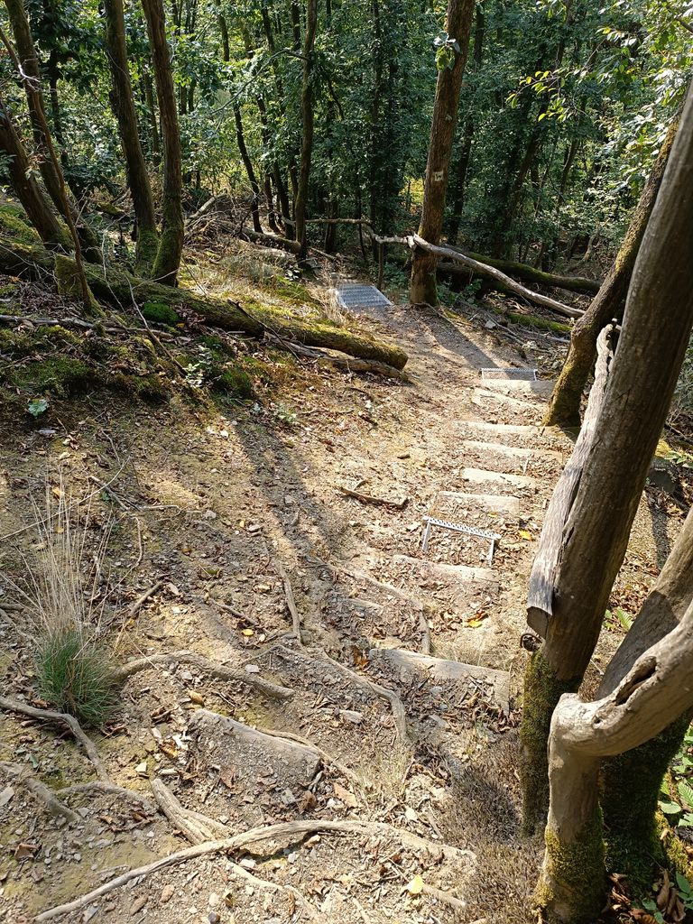
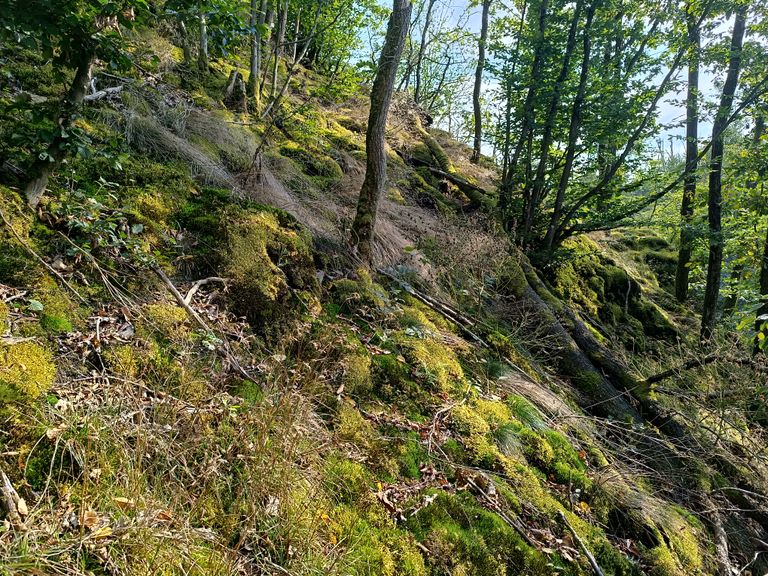
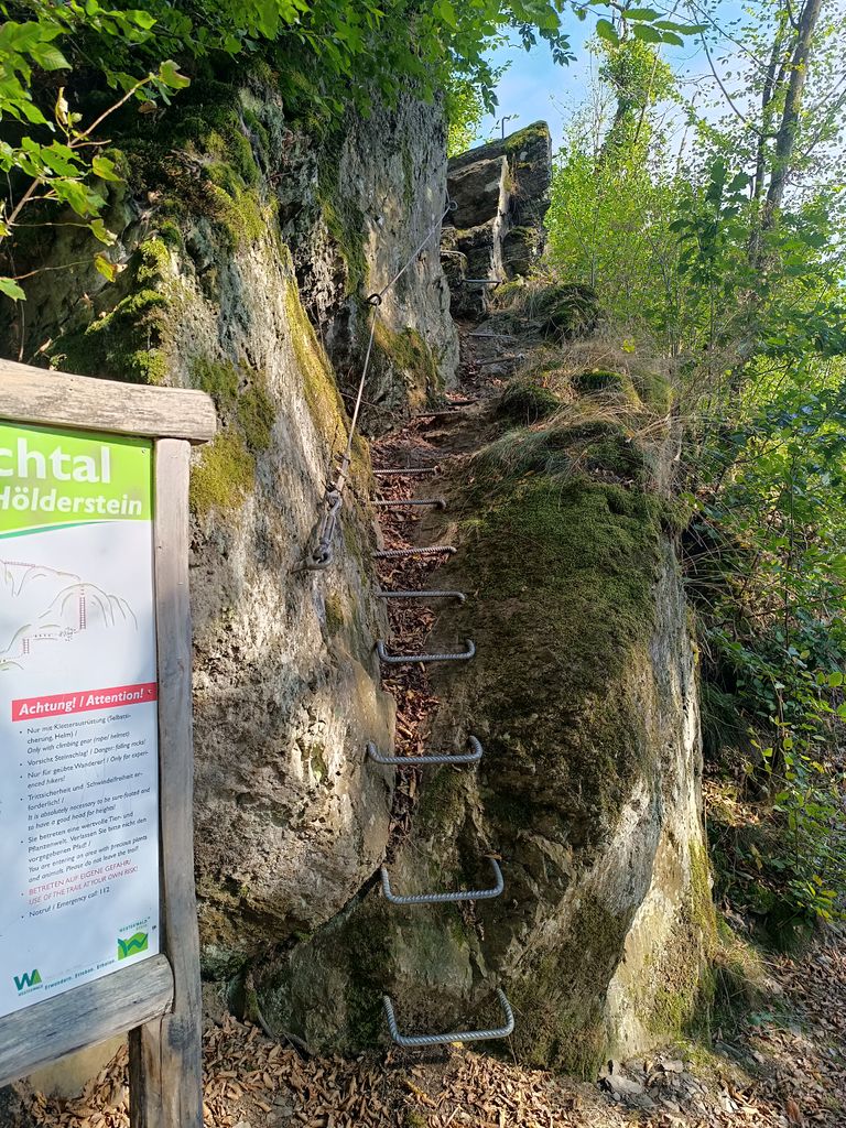
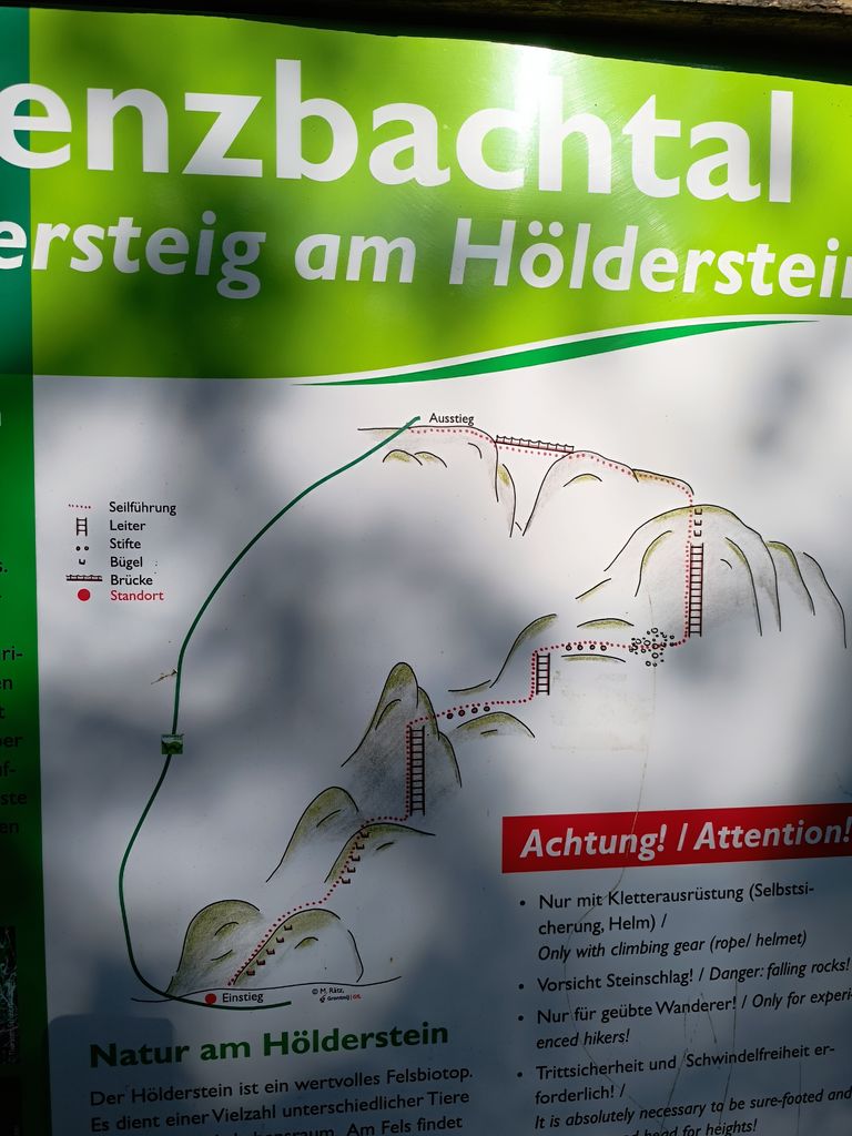
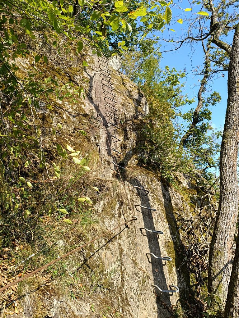
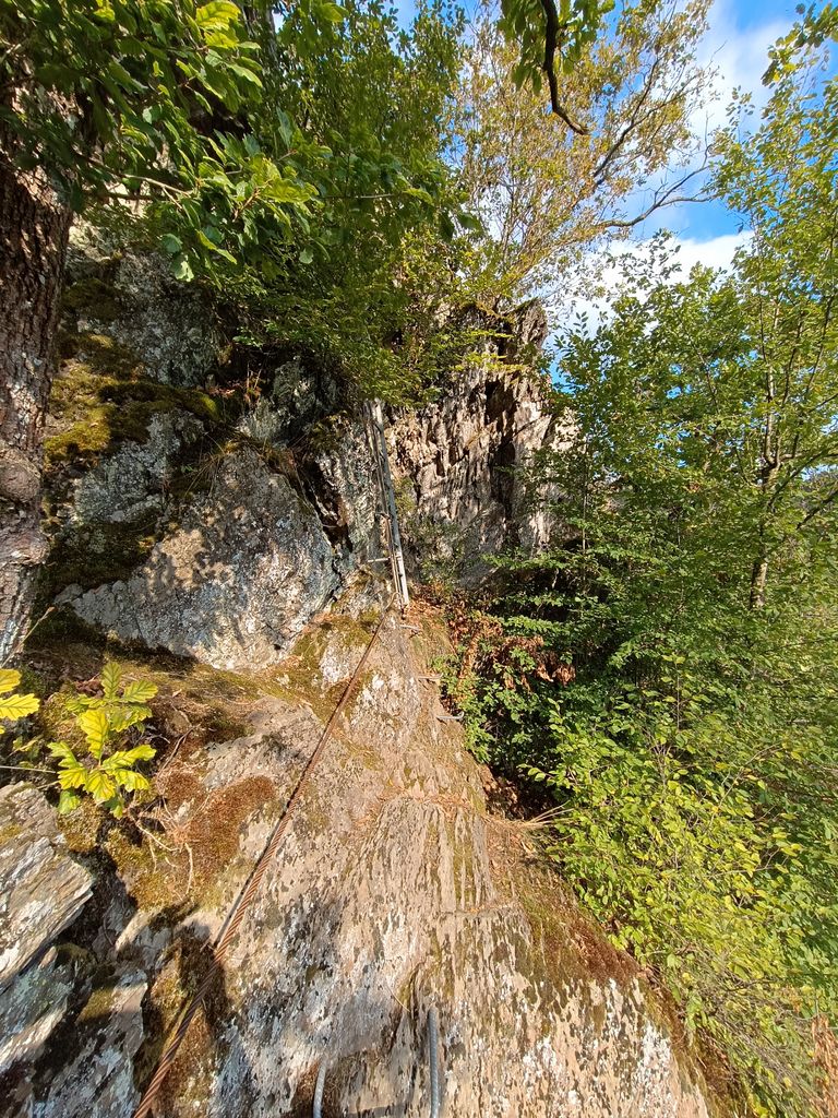
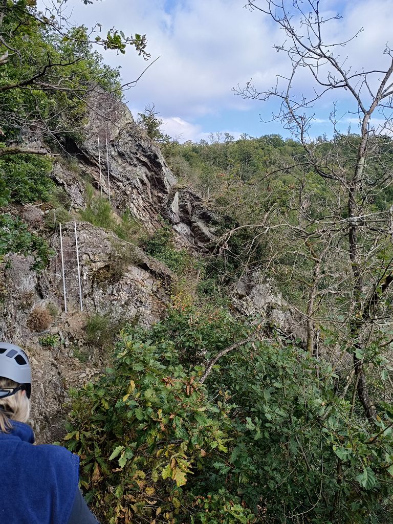
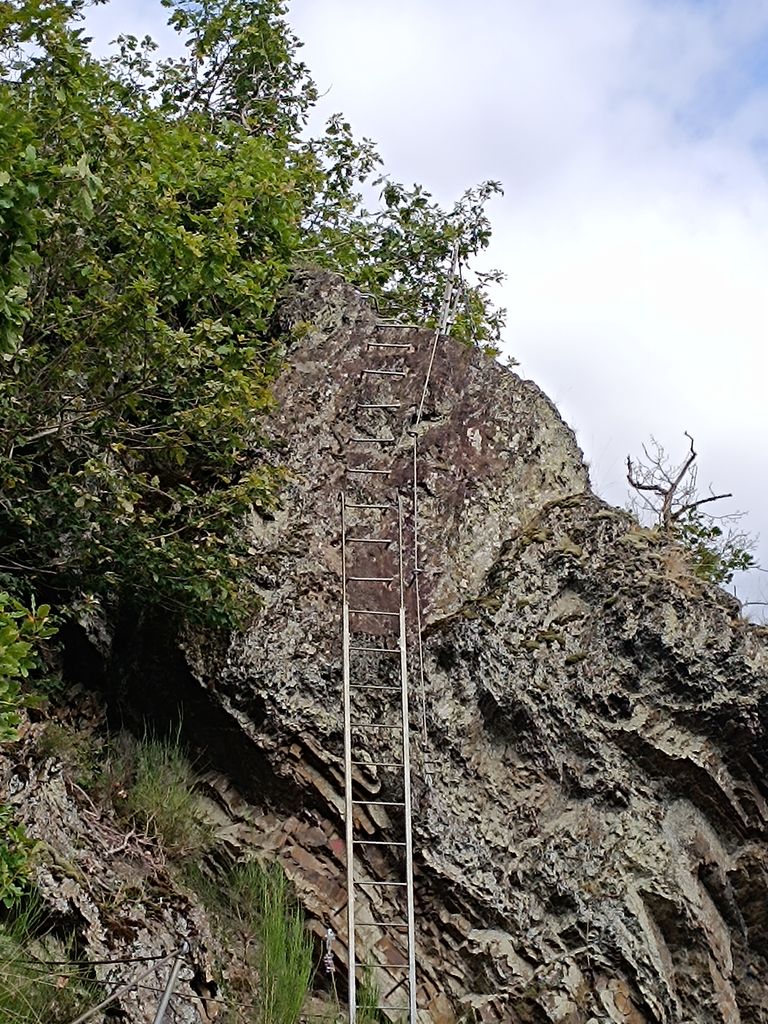
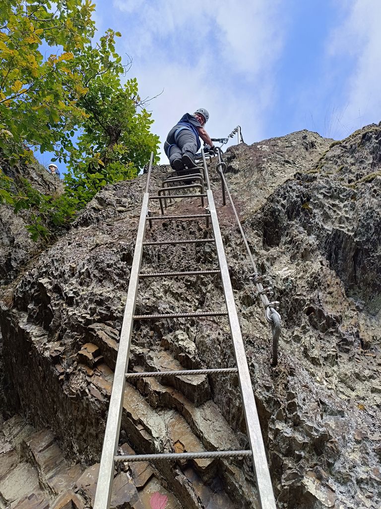
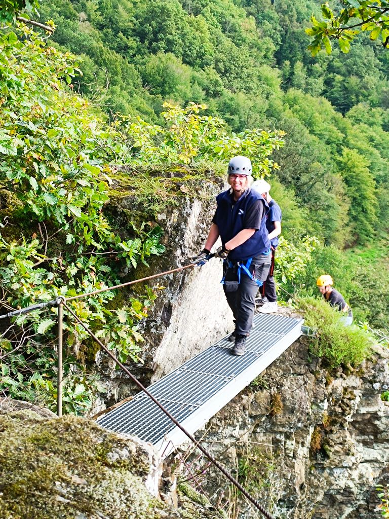
A few days ago we went to Grenzbachtal at the Hölderstein Klettersteig (Via Ferrata). It is not a hard or long one but we wanted to get into climbing again. We have plans for a much longer and more difficult climbing tour in the future. The difficult level for Hölderstein was A/B which is pretty easy for me and experienced people but you should use your climbing equipment to be safe which I did at some passages. There is not much to say, since it was a short climbing tour and we added a nice hiking tour at the end. We had to walk downhill to the starting point was and surpassed this bench which was also the end point.
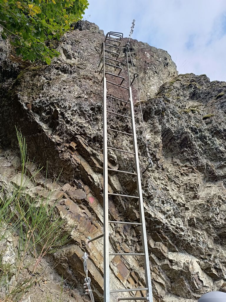
Let's climb
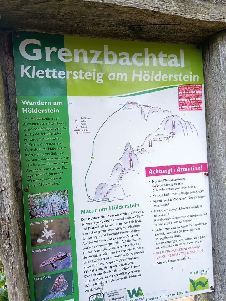 |  | 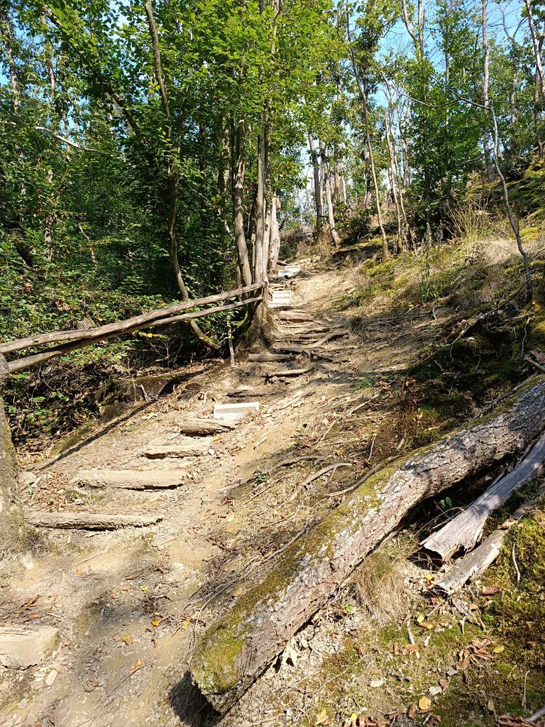 |
Here is the starting point
 |  |
 |  |  |
 |  |
 |  |  |  |
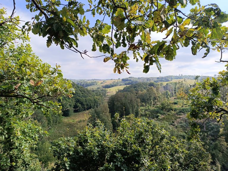
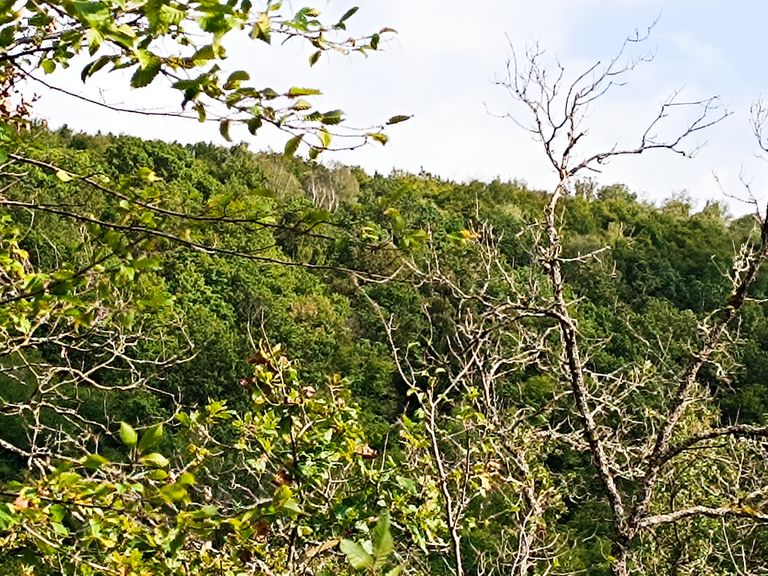
View over the area:
and back to the bench.
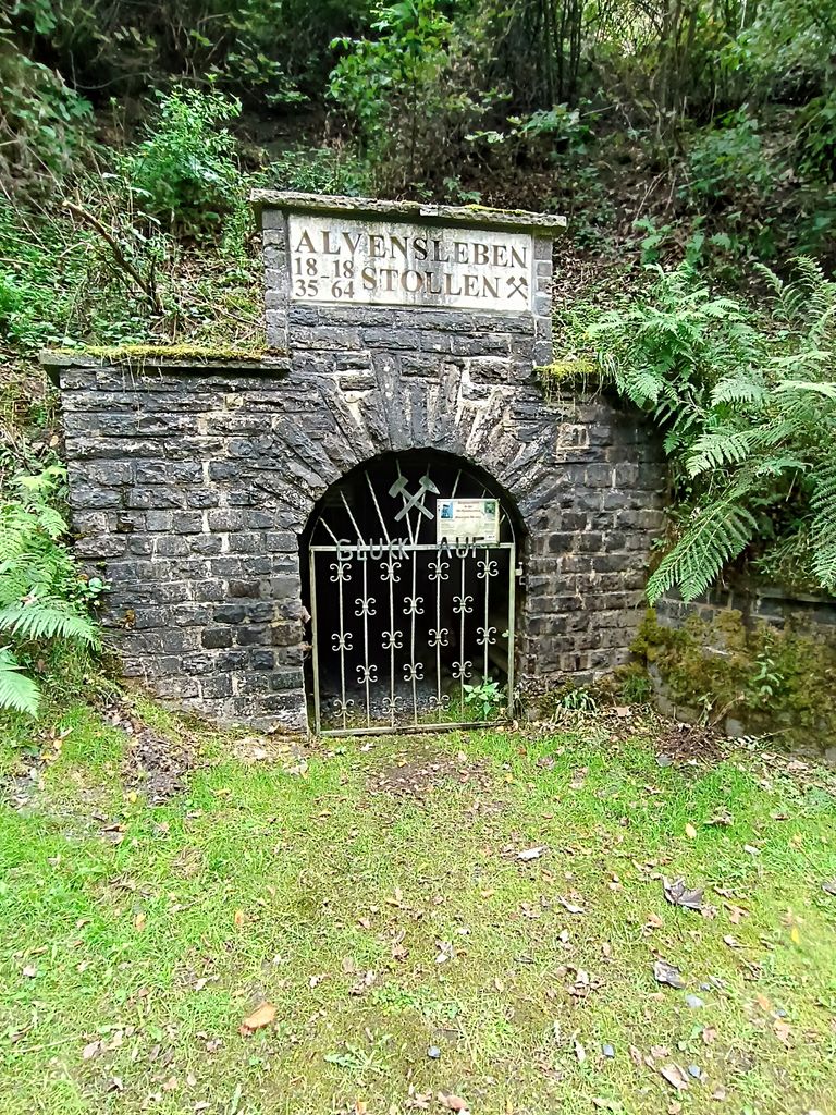
We took a short break and brought the climbing equipment back to the car. From here we drove 5 minutes to the hiking tour we found on outdoor active app. There was an entrance to an old mine.
I tried to track the complete tour with the hiking app but my phone had some GPS problems.
At the end we passed a pizzeria and decided to eat there. The pizza was super delicious.


[email protected]
Images and screenshots are from me